What is recorded here
At the W end of the S shore of Canbo Lough (dims c. 1.3km E-W; c. 100-300m N-S) that has shrunk into two lakes. Just NE of castle (RO010-085001-) are grass-covered foundations (Wth 1.1m) of a small rectangular building (int. dims 4.8m E-W; 4m N-S), and to the ESE a short length (1.5m) of a wall foundation remains. Canbo fortified house (RO010-084001-) is c. 1.2km to the ENE.
Compiled by: Michael Moore
Date of upload: 24 August 2010
The monument record does not grant public access. Check the route and ask the landowner before entering private land.
- What survives
- Recorded monument
Places near here
 Castle (Site of)Castle, unclassified · 10 yd
 Embanked enclosureFairy fort / earthen ringfort · 443 yd
 IndicatedCrannog · 946 yd
 Canbo CastleHouse, 16th/17th century · 1270 yd
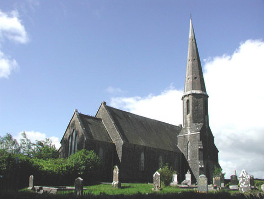 Holy Trinity Church (Killummod)church/chapel · 1.3 mi
 Moylung Castle (in ruins)Castle, unclassified · 3.3 mi
 Coolnahinch WoodWood · 3.8 mi
 Church WoodWood · 3.9 mi
 War of Independence Commemorative Military MemorialMemorial · 4.4 mi
 Moon RiverHeritage attraction · 4.8 mi
 King William MemorialMonument · 6.8 mi
 Strokestown House GardensHeritage attraction · 9.4 mi