
What is recorded here
Towards the E end of Lisdaly Lough (dims c. 500m E-W; c. 120-240m N-S), c. 40m from the N shore and c. 50m from the S shore at a narrow, pinched, central part of the lake. Subcircular overgrown island (diam. 28m N-S, 26.6m E-W; H 0.7m) composed of layered earth and stone deposited in the lake shallows. There is no evidence of timber construction.
Compiled by: Michael Moore
Date of upload: 24 August 2010
The monument record does not grant public access. Check the route and ask the landowner before entering private land.
- What survives
- Recorded monument
Places near here
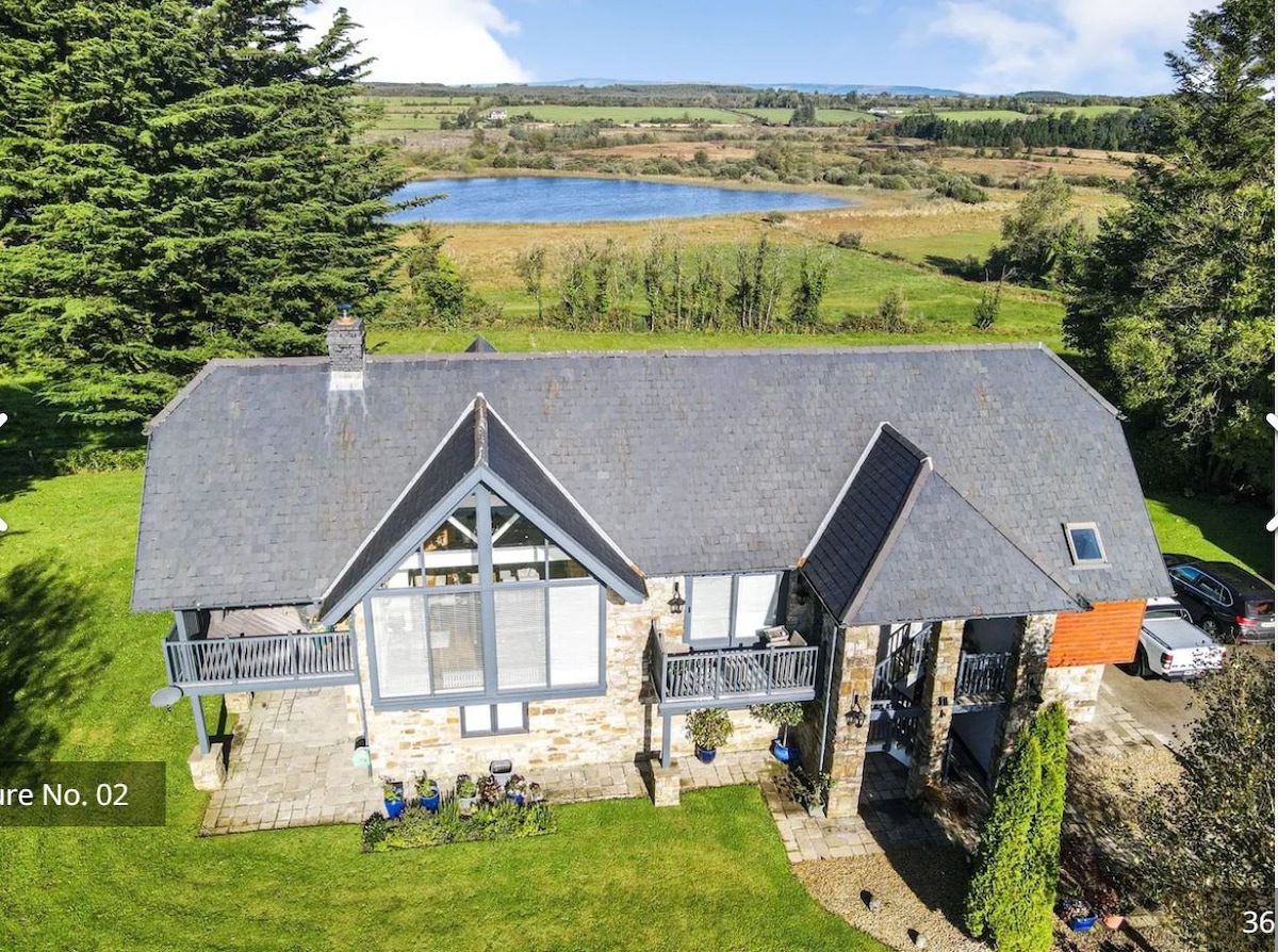 Enclosure in CanboEnclosure · 648 yd
 Canbo CastleHouse, 16th/17th century · 730 yd
 Castle (Site of)Castle, unclassified · 951 yd
 Enclosure in LisdalyEnclosure · 974 yd
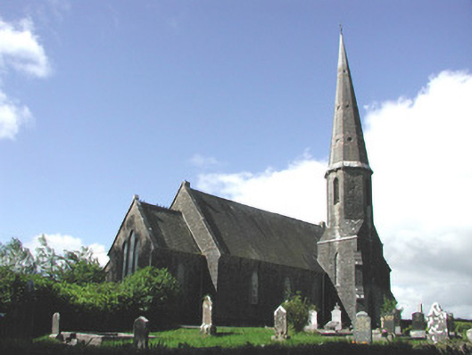 Holy Trinity Church (Killummod)church/chapel · 1.4 mi
 Moylung Castle (in ruins)Castle, unclassified · 3.1 mi
 Hughestown WoodForest · 3.9 mi
 Coolnahinch WoodWood · 3.9 mi
 Moon RiverHeritage attraction · 4.3 mi
 War of Independence Commemorative Military MemorialMemorial · 4.9 mi
 King William MemorialMonument · 6.6 mi
 Strokestown House GardensHeritage attraction · 9.8 mi
Other information
Photo: Credit not shown in the picture search · Rights wording not checked; contact us if this picture should be removed