What is recorded here
Situated within an enclosure (KK035-048001-) visible on the 1st ed OS 6-inch map, dated to cal AD 1050-1217 and partially excavated in 2006 in advance of the N9/N10 Kilcullen to Waterford road improvement scheme (Excavation licence no. E2513). A circular area (diam. 6m), identified following topsoil stripping during an archaeological assessment, defined by a slot-trench filled with charcoal, burnt clay and possible packing stones. The interior contained four possible post-holes and a central feature. A likely doorway was represented by a gap in the wall slot. Although portion of the enclosure was excavated in 2006 the house remained outside the limits of the excavation. (Channing 2009, 268, no. 1047; Channing and O’Neill 2010)
Compiled by: Mary Tunney
Date of upload: 15 October 2013
The monument record does not grant public access. Check the route and ask the landowner before entering private land.
- What survives
- Recorded monument
Places near here
 IndicatedEnclosure · 9 yd
 Knockmoylan Ringfort (rath)Archaeological place · 869 yd
 Knocklmoylan CastleCastle · 1493 yd
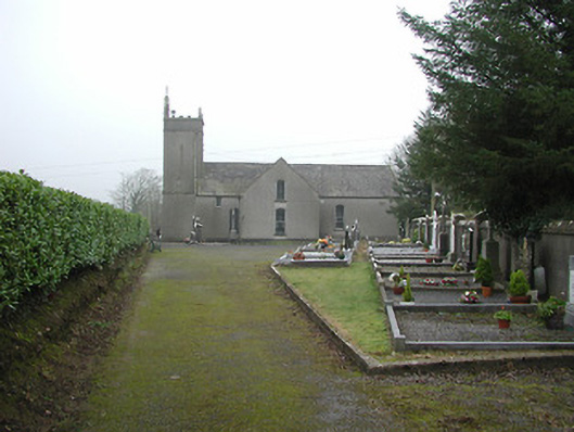 All Saints' Catholic Churchchurch/chapel · 1.1 mi
 Lismateige Bridgebridge · 1.2 mi
 MoatCastle, motte · 1.3 mi
 Thomas PhelanMemorial · 2.0 mi
 Graveyard in KilkeasyGraveyard · 2.0 mi
 Poulanassy WaterfallWaterfall · 3.5 mi
 Corbally WoodForest · 3.5 mi
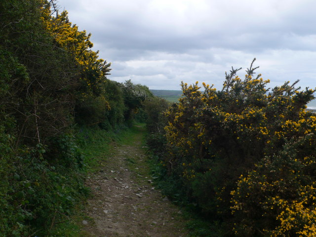 Dowling GorseForest · 4.1 mi
 Castlemorris Pheasant LoopWalking route · 4.1 mi