What is recorded here
Situated at the W end of a low ridge running E-W, in undulating rough pasture. In the W quadrant of ringfort (WM026-046----) is a roughly rectangular-shaped house site (dims. 4m NW-SE; 2.8m NE-SW). It comprises of a low platform with a slight depression in the middle which is defined by a much defaced earthen bank (H 0.4m; overall Wth 2.6m) around its upper edge.
Compiled by Alison McQueen, Vera Rahilly and Caimin O’Brien.
Date of upload: 02 October 2019
The monument record does not grant public access. Check the route and ask the landowner before entering private land.
- What survives
- Recorded monument
Places near here
 Partially hachuredFairy fort / earthen ringfort · 1 yd
 Dotted outlineFairy fort / earthen ringfort · 303 yd
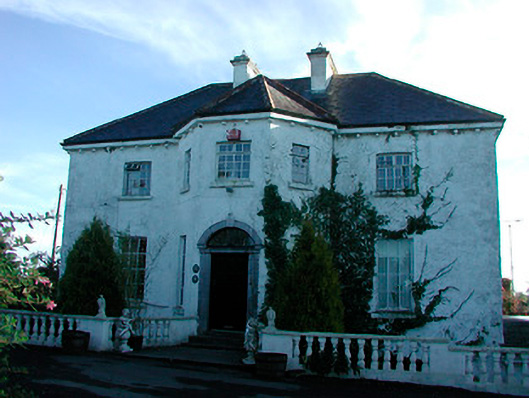 Woodville Housecountry house · 1672 yd
 level crossinglevel crossing · 1.1 mi
 CastleCastle, tower house · 2.0 mi
 Heathstown CastleCastle, tower house · 2.2 mi
 United Nations War MemorialMemorial · 5.6 mi
 Saint Brigid's WellSpring · 6.2 mi
 Roundhill WoodForest · 9.9 mi
 Rahin WoodsForest · 10.0 mi
 Not idnicatedFairy fort / earthen ringfort · 1.0 mi
 Penal Mass station in VilanstownPenal Mass station · 1.3 mi