What is recorded here
McCaffrey (1952, 232) recorded a 'House site of 42' [c. 12.8m] x 18' [c. 5.5m] overall, wall 3' [c. 0.9m]wide and 2' [c. 0.6m] feet high' near the church (GA104-151001-); his co-ordinates placed it just to its S. However, in his note on the Man-made underground passage (GA104-151002-), which lies c 28m to the W of the church, he recorded that: 'There is no Man-made underground passage evident but a house site … is present', which suggests that the house site and Man-made underground passage occupied the same location or were very close to one another. Both areas were checked out but the house site was not located.
Compiled by: Olive Alcock
Date of upload: 3 March 2020
The monument record does not grant public access. Check the route and ask the landowner before entering private land.
- What survives
- Recorded monument
Places near here
 IndicatedFairy fort / ringfort · 526 yd
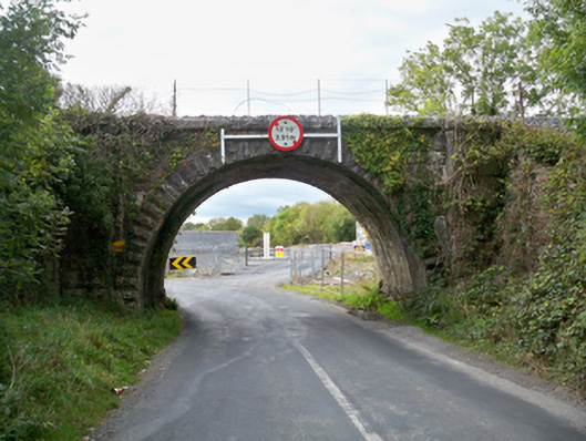 Aggard Bridgebridge · 526 yd
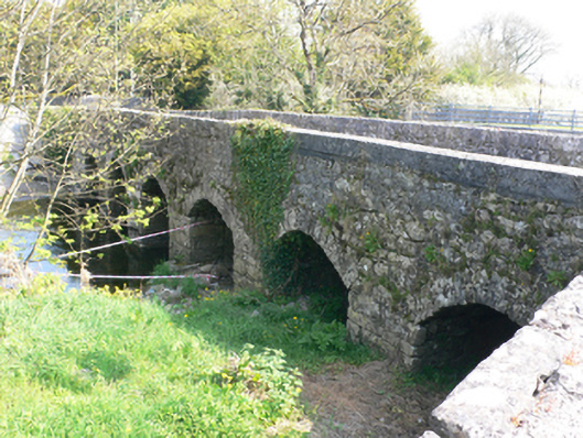 bridgebridge · 552 yd
 Roo Castle (in ruins)Castle, tower house · 798 yd
 LissataggartFairy fort / earthen ringfort · 1192 yd
 Strongfort Castle (in ruins)Castle, tower house · 1.1 mi
 Moyard WoodWood · 2.9 mi
 Kilcornan WoodWood · 4.9 mi
 MweenisharanIslet · 8.7 mi
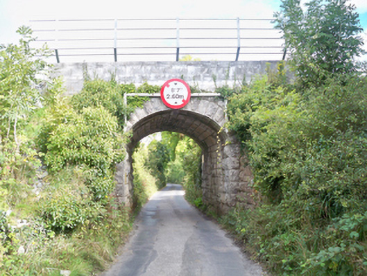 Grenage Bridgebridge · 630 yd
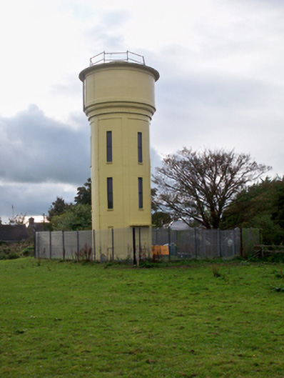 water towerwater tower · 971 yd
 Saint Colman's Catholic Churchchurch/chapel · 1050 yd