What is recorded here
Situated just below the crest of a SE-facing slope of a hill. The interior of rath (WA026-005001-) is divided WNW-ESE by a stone wall-footing, and an L-shaped wall (L 3.6m; 2.1m) to the S possibly represents a house foundation.
Compiled by: Michael Moore
Date of upload: 27 May 2011
The monument record does not grant public access. Check the route and ask the landowner before entering private land.
- What survives
- Recorded monument
Places near here
 CairnCairn, unclassified · 303 yd
 Font in ReiskFont · 676 yd
 Ballyscanlon HillMountain / peak · 1.1 mi
 Fenor BogNature reserve · 1.3 mi
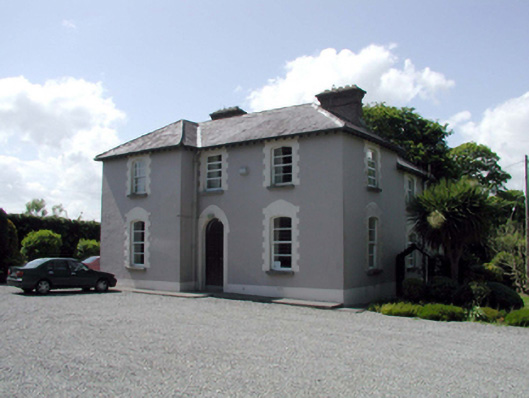 presbytery/parochial/curate's housepresbytery/parochial/curate's house · 1.4 mi
 Catholic Church of the Immaculate ConceptionOfficially recorded historic building · 1.5 mi
 Mote or TumulusCastle, motte · 1.6 mi
 Cullen Castle (in ruins)Castle, tower house · 1.8 mi
 Sugar Loaf RockMountain / peak · 2.6 mi
 Doneraile WalkWalking route · 3.1 mi
 Garrarus StrandBeach / strand · 3.3 mi
 Newtown WoodsWood · 3.3 mi
Other information
Photo: Credit not shown in the picture search · Rights wording not checked; contact us if this picture should be removed