
What is recorded here
Situated on top of a low ridge running NE-SW with good views of surrounding grassland. Piercefield Castle (WM011-097----) 540m to W, Mullenoran bridge 1km to NNW. The road which marks the townland boundary with Piercefield or Templeoran is 100m to W. A long rectangular building or house (dims. 19.5m NE-SW; 5.15m NW-SE) defined by an earthen bank (Wth 2m; H 0.45m), with an internal division and a door (Wth 2m) at NE occupies most of the interior of a moated site (WM011-098----).
See attached plan of monument surveyed and drawn by the ASI.
Compiled by: Frank Coyne and Caimin O'Brien
Date of upload: 25 August 2017
The monument record does not grant public access. Check the route and ask the landowner before entering private land.
- What survives
- Recorded monument
Places near here
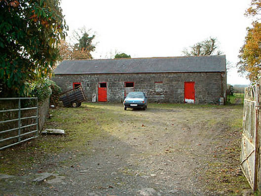 outbuildingoutbuilding · 573 yd
 IndicatedBawn · 648 yd
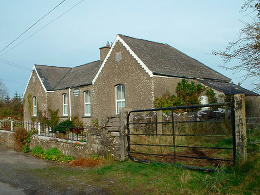 Balrath National Schoolschool · 1070 yd
 Partially hachuredFairy fort / ringfort · 1264 yd
 Castle Quarter, Castle (in ruins)Castle, unclassified · 1.3 mi
 Kilpatrick WellHoly well · 1.3 mi
 Carrickphilbin IslandIslet · 1.9 mi
 Srudarra IslandIslet · 2.6 mi
 Baronstown ForestWood · 3.2 mi
 Bridge Memorial (Kenna)Memorial · 3.3 mi
 Horse-chestnutHorse-chestnut · 3.4 mi
 Abbeyshrule AbbeyRuins · 9.1 mi
Other information
Photo: Credit not shown in the picture search · Rights wording not checked; contact us if this picture should be removed