What is recorded here
On a gentle rise in rough pasture in limestone outcrop within an extensive field system (CL008-109001-). Foundations of a rectangular house site (c. 9.6m NW-SE; c. 7m NE-SW) are visible on orthophotographs on Digital Globe (2011-2013) and OSi MapGenie (2013-2018). A cashel (CL008A003007-) lay c. 28m to the SE and a hut site (CL008A003008-) lies c. 38m to the NNE.
Compiled by: Mary Tunney
Date of upload: 26 April 2023
The monument record does not grant public access. Check the route and ask the landowner before entering private land.
- What survives
- Recorded monument
Places near here
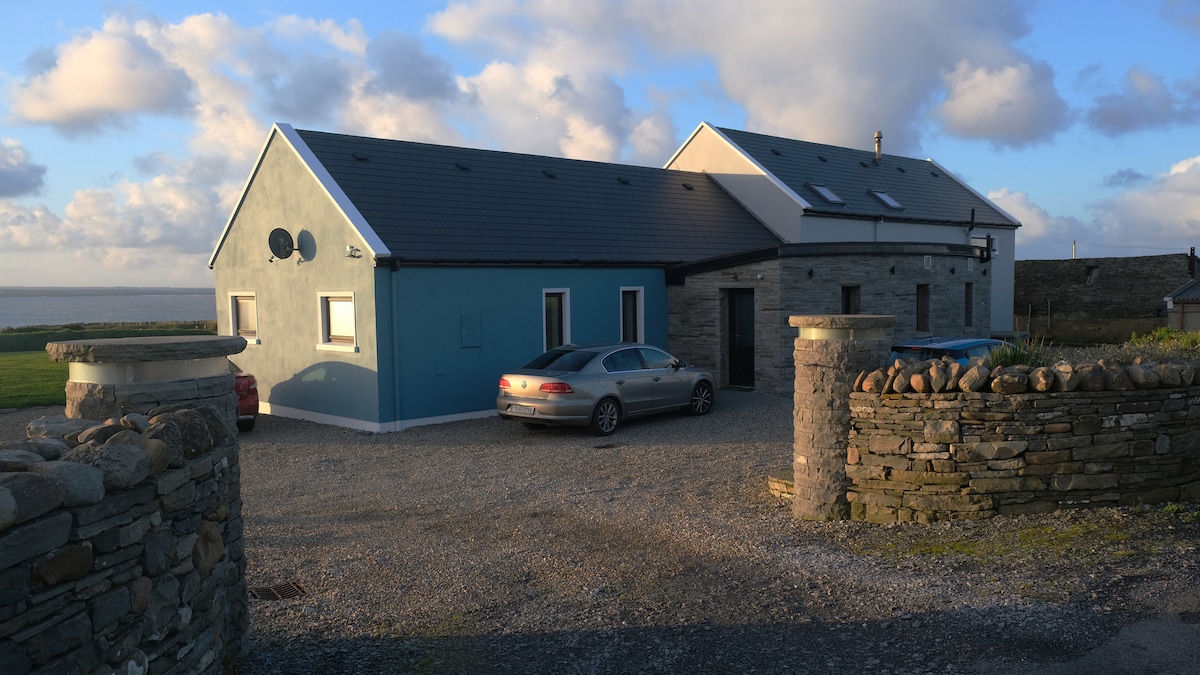 CaheradoonFairy fort / stone ringfort · 67 yd
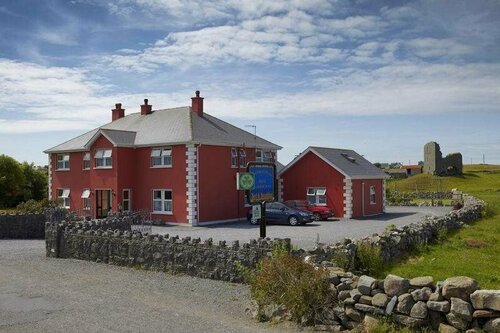 Enclosure in DoonmacfelimEnclosure · 344 yd
 Church in BallaghalineChurch · 773 yd
 Doolin PointHeadland · 907 yd
 Doolin FerriesHeritage attraction · 994 yd
 Wild Atlantic Way: Doolin PierVisitor information · 994 yd
 Ballaghaline PointHeadland · 1233 yd
 Doonmacfelim Castle (in Ruins)Castle, tower house · 1309 yd
 Crab IslandIslet · 1324 yd
 bridgebridge · 1475 yd
 Fisherstreet PotCave · 1615 yd
 CastleCastle, unclassified · 1.2 mi