What is recorded here
Situated in generally flat, low-lying pasture, to E of a wet marshy area. In centre of moated site (WM017-091----) are the remains of a roughly rectangular shaped, raised area (dims. 12m NE-SW; 5.5m NW-SE) defined by a low earth and stone bank, best preserved along SW side.
Compiled by: Alison McQueen, Vera Rahilly and Caimin O’Brien
Date of upload: 20 December 2018
The monument record does not grant public access. Check the route and ask the landowner before entering private land.
- What survives
- Recorded monument
Places near here
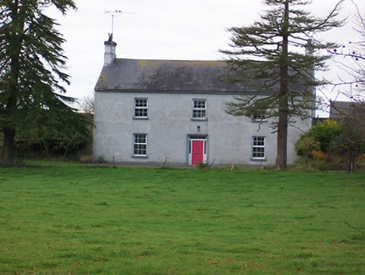 Dalystown Househouse · 264 yd
 Church (in Ruins)Church · 667 yd
 Partially hachuredFairy fort / earthen ringfort · 864 yd
 OutlinedHoly well · 1139 yd
 Duneel CastleCastle, tower house · 1.4 mi
 Site of Doon CastleCastle, ringwork · 1.4 mi
 Sessile OakSessile Oak · 2.6 mi
 Ancient Ring FortWood · 3.3 mi
 Abbeyshrule AbbeyRuins · 4.4 mi
 Craft WorkshopHeritage attraction · 4.6 mi
 Guest ServicesVisitor information · 4.6 mi
 Goldsmith Birthplace, PallasVisitor information · 5.1 mi