What is recorded here
In the S half of a rath (MA015-054----). The poorly preserved outline of a rectangular structure (c. 14-15m N–S; c. 6.5m E–W) is defined by a low, sod-covered stony bank/wall footings (Wth 1.2-1.5m; H 0.25-0.35m). A low stony bank partitions the structure into two ‘rooms’ of roughly equal size; the interior of the E room is at a slightly lower level than that of the W room.
Compiled by: Jane O’Shaughnessy
Date of upload: 7 December 2018
The monument record does not grant public access. Check the route and ask the landowner before entering private land.
- What survives
- Recorded monument
Places near here
 IndicatedFairy fort / earthen ringfort · 376 yd
 RathmoreFairy fort / earthen ringfort · 516 yd
 Green IslandIslet · 582 yd
 Rinnaun PointHeadland · 690 yd
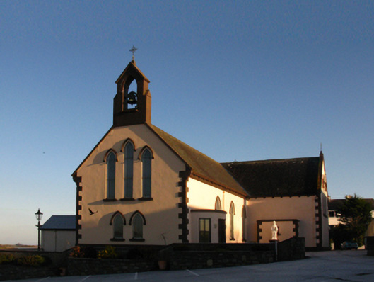 Saint Patrick's Catholic Churchchurch/chapel · 897 yd
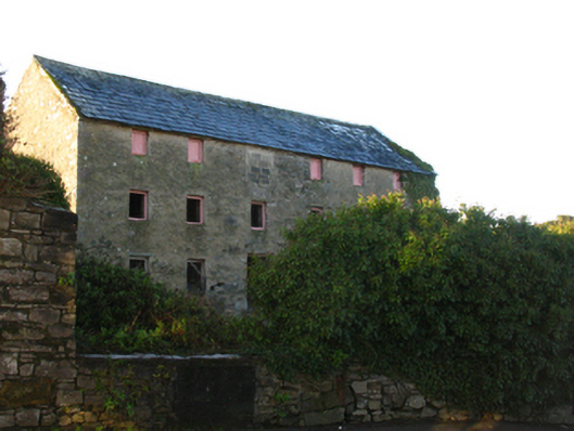 store/warehousestore/warehouse · 1042 yd
 Battle of Killalabattle · 1132 yd
 CastleCastle, unclassified · 1173 yd
 Bawn in Meelick (tirawley By.)Bawn · 1.2 mi
 Battlefields of MoyneBattlefield · 1.5 mi
 Bartragh IslandIsland · 2.0 mi
 Moyne AbbeyHeritage attraction · 2.0 mi