What is recorded here
Close to the sea, between two promontories on NE side of Inishbofin. A subcircular area (L 4m, Wth 2.5m) defined by a line of drystone walling within a series of field walls (info. M. Gibbons). A second hut lies c. 150m to NW (GA009B016----). Not visited.
The above description is derived from the published 'Archaeological Inventory of County Galway Vol. I - West Galway'. Compiled by Paul Gosling (Dublin: Stationery Office, 1993).
Date of upload: 05 August 2010
The monument record does not grant public access. Check the route and ask the landowner before entering private land.
- What survives
- Recorded monument
Places near here
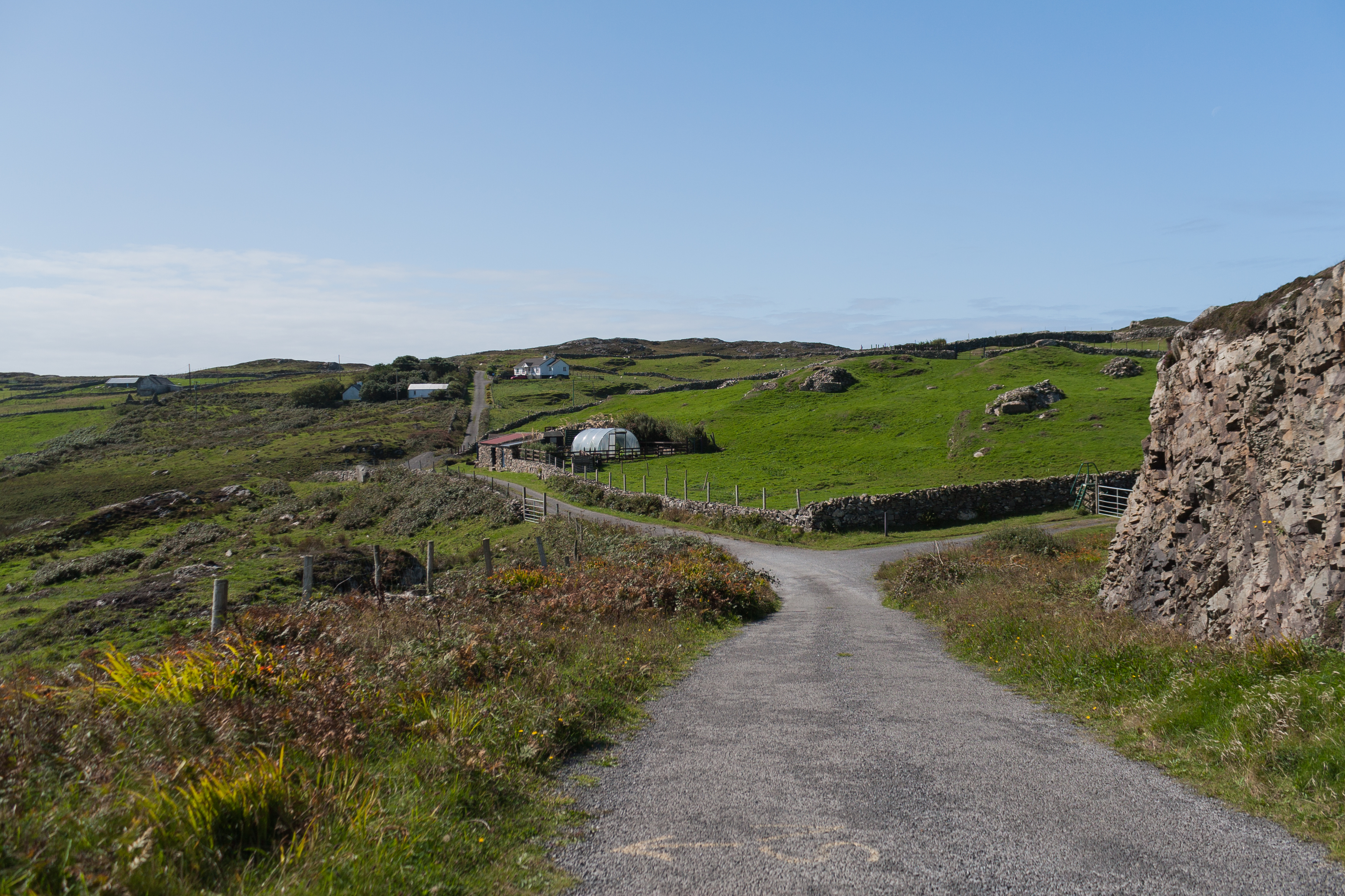 DoonnahineenaPromontory fort, coastal · 384 yd
 Enclosure in CloonamoreEnclosure · 526 yd
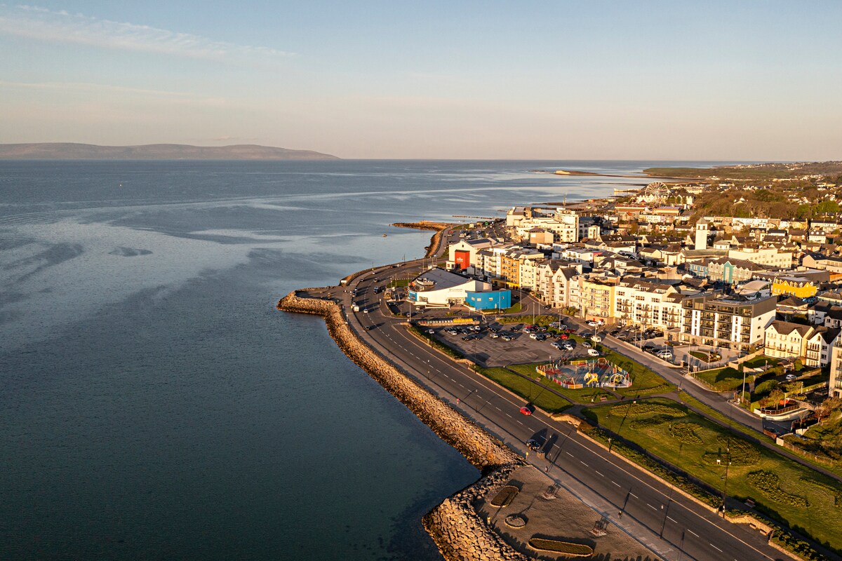 East End BeachBeach / strand · 1153 yd
 Abbey (in Ruins)Church · 1.1 mi
 Drumhach BeachBeach / strand · 1.2 mi
 InishbofinIsland · 1.3 mi
 Site of Guairims CastleCastle, unclassified · 1.4 mi
 Vincent Josef O'HalloranMemorial · 1.6 mi
 InishlyonMountain / peak · 1.6 mi
 Barrack PointHeadland · 1.8 mi
 Ox IslandIslet · 1.8 mi
 Port IslandIslet · 1.8 mi