What is recorded here
Situated on a fairly level landscape. The faint cropmark of a small rectangular structure (dims c. 10m E-W; c. 5m N-S) defined by drain features is visible on aerial photographs (WX045-084_1 to _4). The structue crosses the drain feature that outlines the boundary of a wood on Tintern demesne land as marked on the 1839 and 1925 eds of the OS 6-inch map.
Compiled by: Michael Moore
Date of upload: 22 July, 2013
The monument record does not grant public access. Check the route and ask the landowner before entering private land.
- What survives
- Recorded monument
Places near here
 Enclosure in BallyvarogeEnclosure · 826 yd
 New Bridgebridge · 886 yd
 Field system in TinternField system · 974 yd
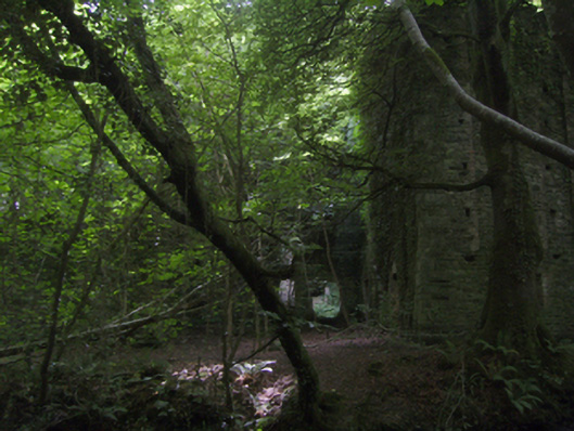 Tintern Abbeymill (water) · 1019 yd
 1798Memorial · 1068 yd
 Site of CastleCastle, unclassified · 1.2 mi
 Saltmills Explosion MemorialMemorial · 1.5 mi
 Grange BeachBeach / strand · 2.7 mi
 CastleCastle, motte · 2.8 mi
 AshgroveVisitor information · 3.2 mi
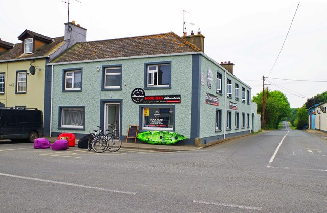 Hook Tourism (Fethard Office)Visitor information · 3.5 mi
 Carricjmore CliffCliff · 3.5 mi