What is recorded here
Within a field system (MA119-052002-), c. 25m S of a cashel (MA119-052001-).
A scale plan of the field system drawn in the 1986 records a rectangular two-room house (c. 8-10m E-W; 4-5m N-S) on a roughly E-W axis (SMR file), located in the SW quadrant of a subrectangular field appended to the S arc of the cashel. The SW corner of the house abutted the curving SW wall of the field. A number of walls subdivided the field into smaller subrectangular spaces, one of which abutted the NE end of the house. This house and the field walls were subsequently levelled during land reclamation. When inspected in 2000, no remains of the house were visible at ground level.
Compiled by: Jane O’Shaughnessy
Date of upload: 23 August 2023
The monument record does not grant public access. Check the route and ask the landowner before entering private land.
- What survives
- Recorded monument
Places near here
 IndicatedEnclosure · 302 yd
 Enclosure in Ardkill,caherwiclaun,kilquire UpperEnclosure · 507 yd
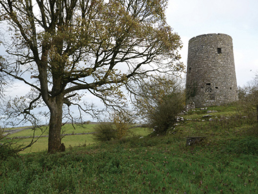 Highwood Millmill (wind) · 1017 yd
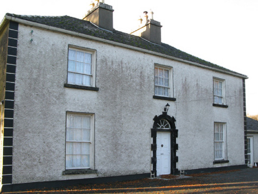 Fort Villefarm house · 1305 yd
 Killernan CastleCastle · 1467 yd
 Bawn in Kilquire LowerBawn · 1507 yd
 European YewEuropean Yew · 2.5 mi
 SycamoreSycamore · 4.2 mi
 Ross Errilly FriaryHeritage attraction · 8.2 mi
 Mass RockNamed rock · 8.5 mi
 School of FalconryHeritage attraction · 8.9 mi
 Oileán na nAnamIslet · 9.1 mi