What is recorded here
Within a large enclosure (GA058-087----). The 1st ed. of OS 6-inch map shows two rectangular roofed buildings in the interior at NW and SW. The NW example (GA058-087001-) survives as a rectangular area (E-W; L 9m, Wth 6m) defined by the foundations of a stone wall. It is partially obscured by field clearance, but opposing gaps in its walls at N and S appear original. The site of SW example (GA058-087002-) is now obscured by field clearance, but it appears to have been aligned N-S and is situated directly inside the enclosure wall. At S, the outline of a third house (GA058-087003-) survives as a rectangular grassed-over platform (E-W; L 10m, Wth 5m).
The above description is derived from the published 'Archaeological Inventory of County Galway Vol. II - North Galway'. Compiled by Olive Alcock, Kathy de hÓra and Paul Gosling (Dublin: Stationery Office, 1999).
Date of upload: 24 August 2016
The monument record does not grant public access. Check the route and ask the landowner before entering private land.
- What survives
- Recorded monument
Places near here
 IndicatedEnclosure · 1 yd
 CaveMan-made underground passage · 826 yd
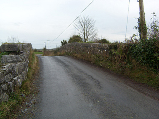 bridgebridge · 842 yd
 Common WhitebeamCommon Whitebeam · 1.0 mi
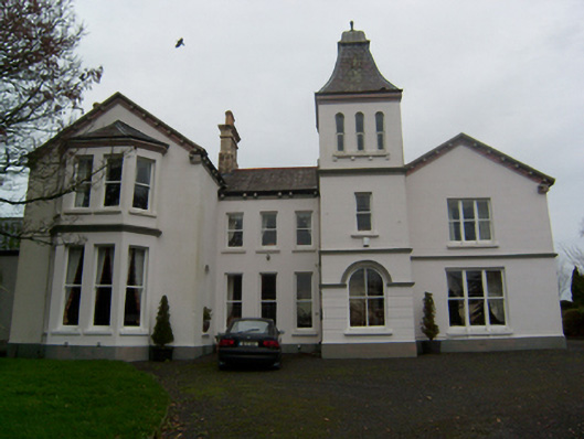 Crumlin Parkcountry house · 1.1 mi
 SycamoreSycamore · 1.1 mi
 Castle FrenchCastle, unclassified · 1.6 mi
 Knockmoy AbbeyHeritage attraction · 2.2 mi
 CastleCastle, unclassified · 2.3 mi
 Mass RockNamed rock · 10 mi
 Oileán an BhreathnaighIslet · 13 mi
 Oileán an AoilIsland · 13 mi