What is recorded here
In the N half of an enclosure (SL017-022002-). This comprises the foundations of a rectangular house (6m N-S; 2.5m E-W). It is defined on the E, S and W by substantial, regularly-shaped stone blocks. At N it abutts the enclosure wall. The entrance (Wth 1m) is off-centre in the S wall.
Compiled by: Patrick F. O'Donovan
Date of upload: 19 January 2011
The monument record does not grant public access. Check the route and ask the landowner before entering private land.
- What survives
- Recorded monument
Places near here
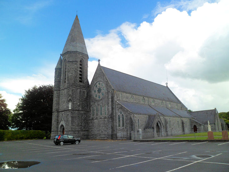 IndicatedEnclosure · 22 yd
 Camphill Househouse · 821 yd
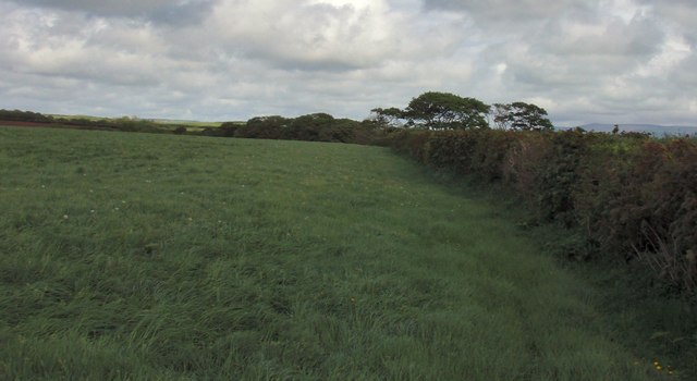 Field boundary in BellafarneyField boundary · 974 yd
 Dromore West Union WorkhouseRuins · 1538 yd
 Ballynahowna CastleCastle, tower house · 1.2 mi
 CastleCastle, motte · 1.9 mi
 Split RockNamed rock · 2.9 mi
 DonaghHeadland · 3.4 mi
 Jim Smith MemorialMemorial · 4.2 mi
 Wild Atlantic Way: Easky PierVisitor information · 4.4 mi
 AnnatoranMountain / peak · 6.4 mi
 Wild Atlantic Way: Inishcrone PierVisitor information · 7.2 mi