What is recorded here
Situated on a slight natural rise, in gently undulating pasture with restricted views. About 25m to ENE of ringfort (WM019-079----) is a long rectangular, two-roomed house site defined by a slight earthen bank with no surface remains visible of any doorway. A small complex of earthworks are in the immediate vicinity of the house. The banks and scarps radiate from the corners of house site at E, S and W. They are probably the remains of enclosures associated with the house. Low mounds are visible to SW and NW of the house. Degraded earthworks are barely visible today on Google Earth aerial imagery.
See attached plan of monument surveyed and drawn by the ASI.
Compiled by: Alison McQueen, Vera Rahilly and Caimin O’Brien
Date of upload: 10 June 2019
The monument record does not grant public access. Check the route and ask the landowner before entering private land.
- What survives
- Recorded monument
Places near here
 OutlinedFairy fort / ringfort · 258 yd
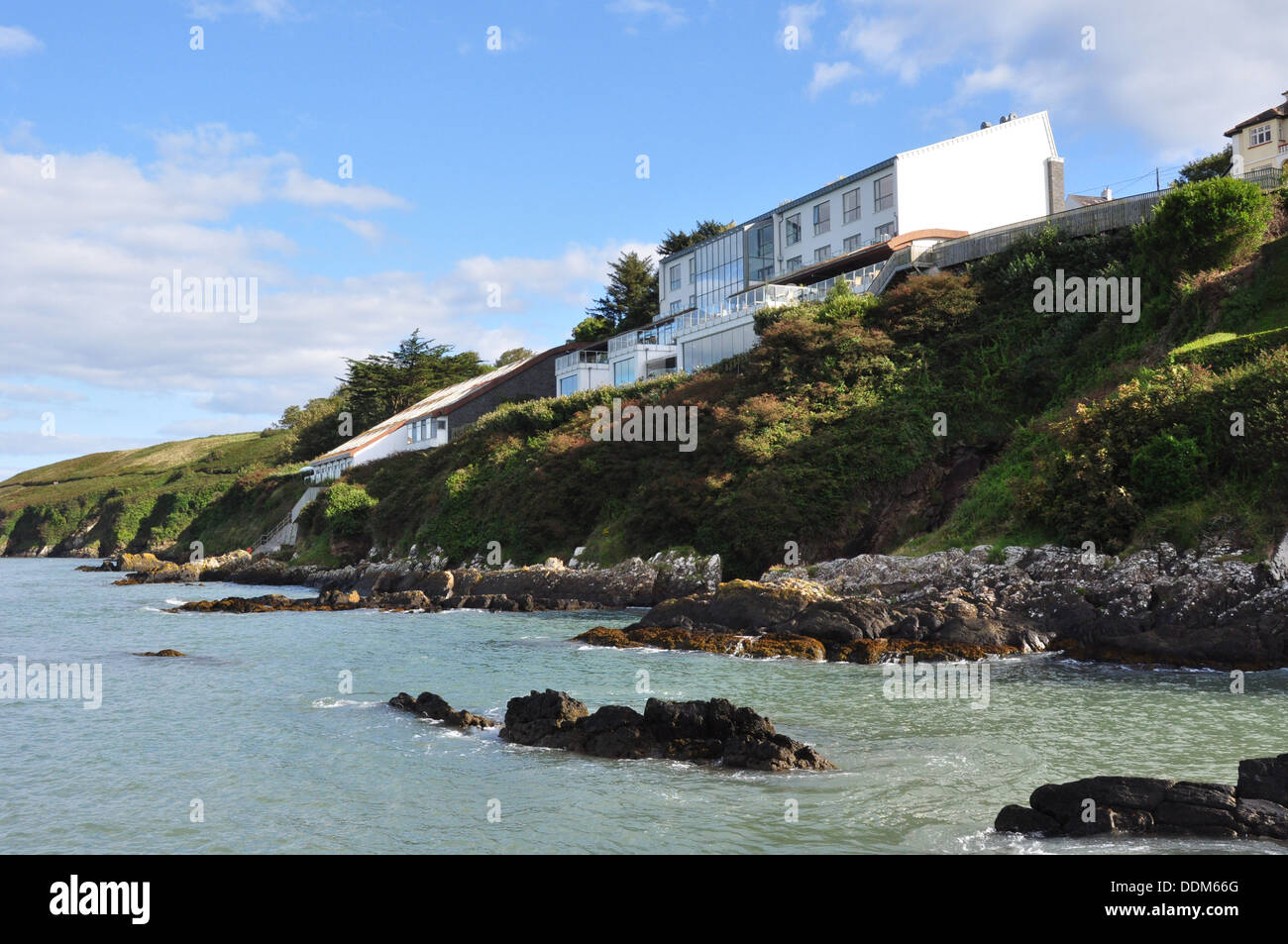 Hut site in ArdmoreHut site · 351 yd
 Boardstown Castle (in Ruins)Castle, tower house · 759 yd
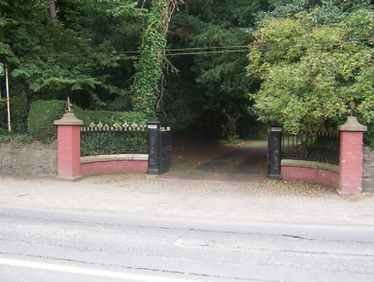 Glenmoredemesne walls/gates/railings · 1262 yd
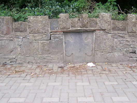 monumentmonument · 1272 yd
 Augustinian Monks Memorial StatueMemorial · 1.2 mi
 Petits Castle Mote & Mill (Site of)Castle, unclassified · 1.2 mi
 The Chimera GalleryGallery · 1.4 mi
 Famine MemorialMemorial · 1.4 mi
 Mullingar Cathedral MuseumMuseum · 1.5 mi
 Saint Brigid's WellSpring · 2.8 mi
 Long PlantingForest · 3.7 mi
Other information
Photo: Credit not shown in the picture search · Rights wording not checked; contact us if this picture should be removed