What is recorded here
Within the field system of the deserted settlement (RO006-103007-) on the S side of the short roadway connecting the two principal roadways. Rectangular structure (int. dims 12m E-W; 5.8m N-S) defined by the base of a double-faced wall (Wth 1-1.3m) with no visible entrance.
Compiled by: Michael Moore
Date of upload: 24 August 2010
The monument record does not grant public access. Check the route and ask the landowner before entering private land.
- What survives
- Recorded monument
Places near here
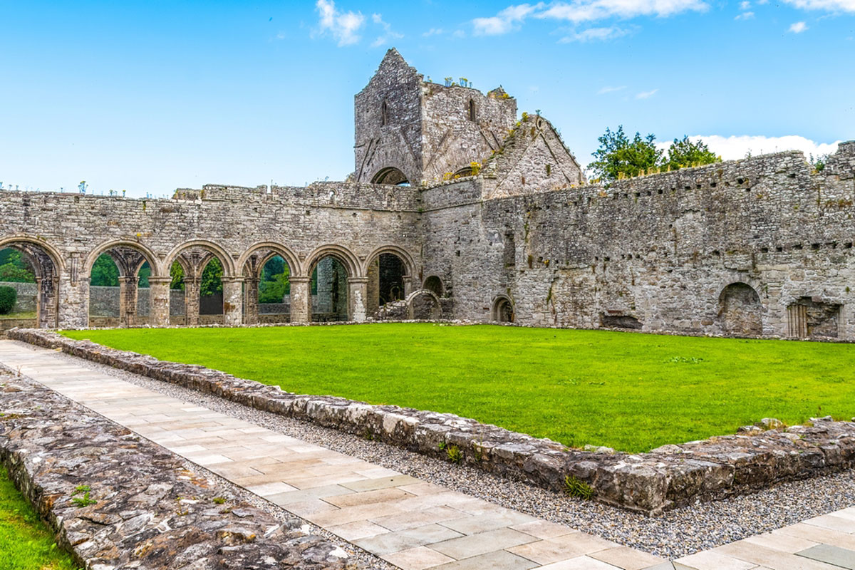 MonasteryReligious house, Augustinian, of Arrouaise nuns · 26 yd
 IndicatedSettlement deserted, medieval · 132 yd
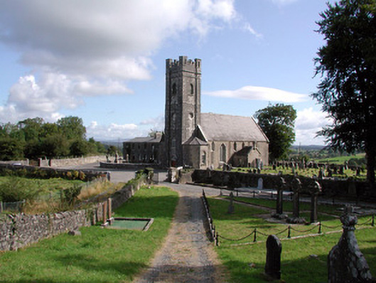 Ardcarn Churchchurch/chapel · 236 yd
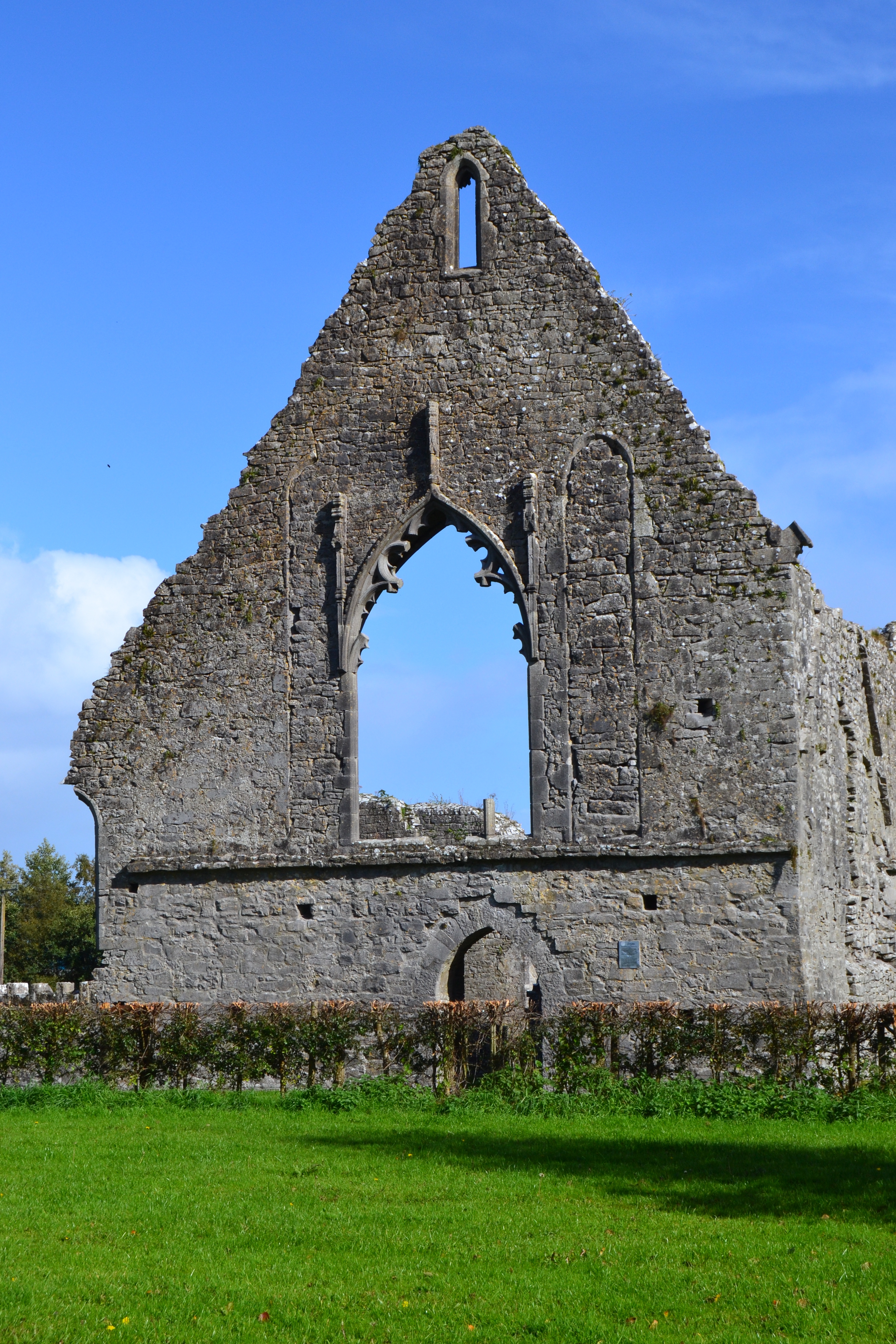 Templemihil (Site of)Church · 272 yd
 Longford HillMountain / peak · 1.4 mi
 Horse-chestnutHorse-chestnut · 1.8 mi
 Lough Key Forest ParkWood · 1.9 mi
 Western RedcedarWestern Redcedar · 1.9 mi
 Castle IslandIslet · 2.0 mi
 Green IslandIslet · 2.1 mi
 Moylung Castle (in ruins)Castle, unclassified · 2.5 mi
 Erris BayBay · 2.5 mi