What is recorded here
Situated in poorly drained rough unimproved pasture c. 70m from the S shore of Lough Melvin. The partial outline of a rectangular house (int. dims 4.9m WNW-ESE; 2.9m NNE-SSW) is defined by a low grass covered wall (avg. T 1.2m; H 0.2m) which is visible on three sides only as there is no evidence for the ESE end of the building. There is small rise inside at the WNW end. The court tomb (LE002-021----) and bullaun stone with multiple basins (LE002-020-----) are c. 70m to the WSW and 70m to the WNW respectively.
Compiled by: Michael Moore
Date of upload: 18 December, 2015
The monument record does not grant public access. Check the route and ask the landowner before entering private land.
- What survives
- Recorded monument
Places near here
 InisheherIslet · 774 yd
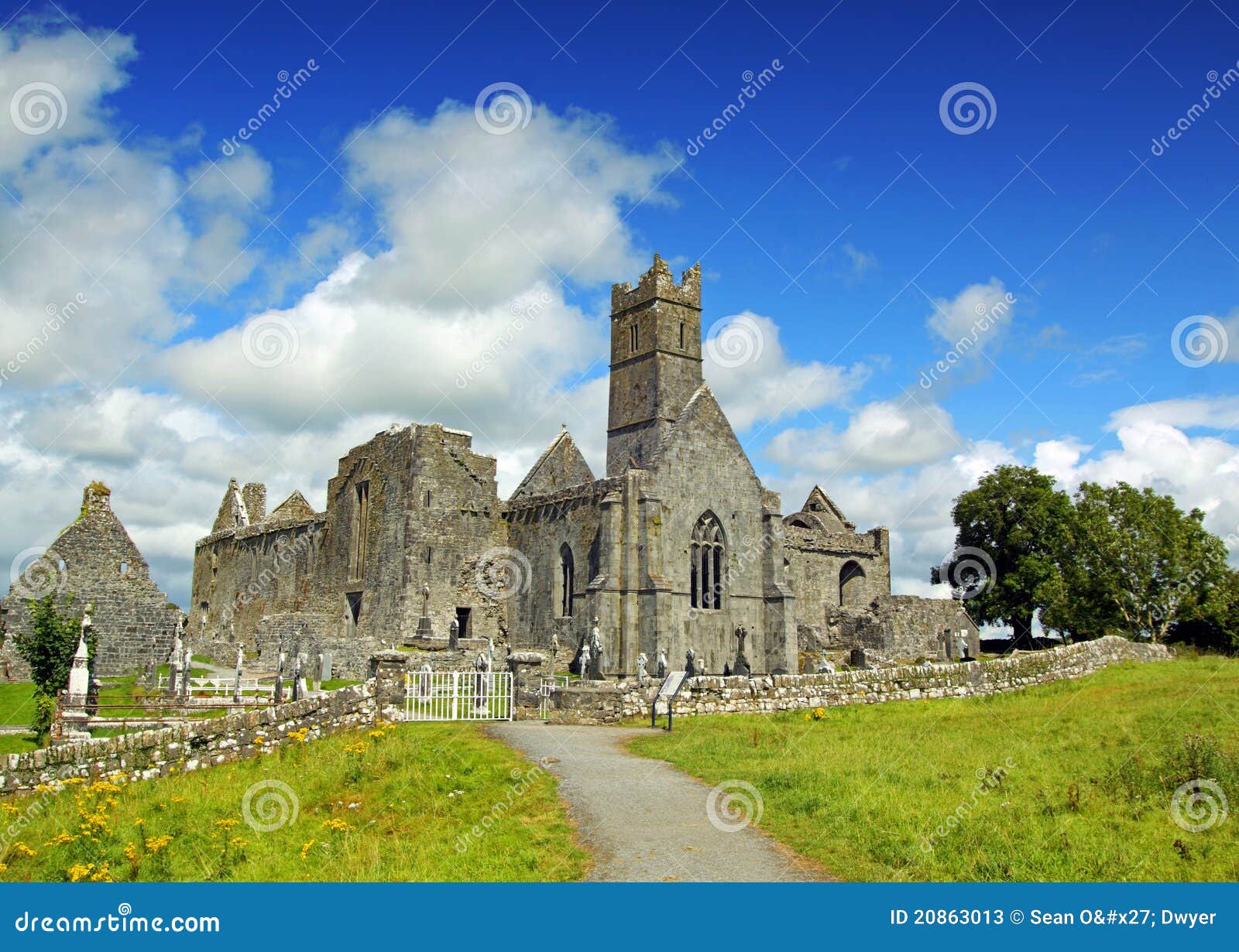 AbbeyChurch · 1269 yd
 CastleCastle, tower house · 1280 yd
 Rosfriar PointHeadland · 1452 yd
 Giant's GraveArchaeological place · 1562 yd
 IndicatedFairy fort / stone ringfort · 1596 yd
 Mass-rock in Sracummer (rosclogher By.)Mass-rock · 1606 yd
 InishmeanIslet · 1.0 mi
 Lareen BayBay · 1.1 mi
 Church (in Ruins)Church · 1.5 mi
 Arroo MountainMountain / peak · 1.9 mi
 Conwal NorthMountain / peak · 2.1 mi