
What is recorded here
At the S shore of Inishtemple Island (max. dims c. 900m E-W; c. 270m N-S) in Lough Melvin. The church is a rectangular structure (int. dims 12.95m E-W; 6.05m N-S) surviving almost complete with walls (Wth 0.8m; H c. 3m) of randomly coursed sandstone masonry and dressed quoins. There was a doorway, now destroyed, towards the W end of the N wall, and a lintelled doorway opposite, now blocked, has a projecting stone on the E jamb for a latch. A simple slit window survives in the S wall towards the E end, and the E window is destroyed. There is no evidence of an enclosure or of burial, although there are references to a burial ground on the island (OS Name Books, 84, 533).
The above description is derived from 'The Archaeological Inventory of County Leitrim' compiled by Michael J. Moore (Dublin: Stationery Office, 2003). In certain instances the entries have been revised and updated in the light of recent research.
Date of upload: 23 September 2008
This remains an important historical record, but the official description says the monument is no longer visible or has been destroyed. The monument record does not grant public access. Check the route and ask the landowner before entering private land.
- What survives
- No visible remains or recorded as destroyed
Places near here
 InishtempleIslet · 144 yd
 InishmeanIslet · 1068 yd
 Mass-rock in Sracummer (rosclogher By.)Mass-rock · 1546 yd
 IndicatedFairy fort / stone ringfort · 1645 yd
 Rosfriar PointHeadland · 1.8 mi
 Conwal NorthMountain / peak · 1.9 mi
 Bradoge Bridgebridge · 2.0 mi
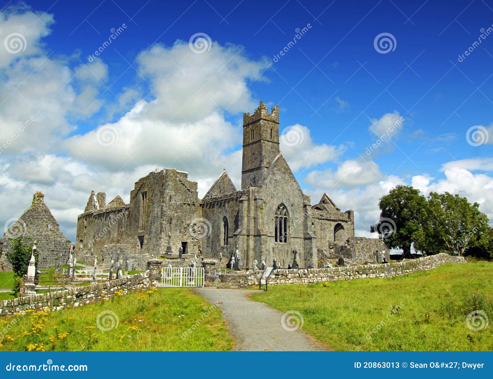 AbbeyChurch · 2.1 mi
 CastleCastle, tower house · 2.2 mi
 Lareen BayBay · 2.2 mi
 Giant's GraveArchaeological place · 2.3 mi
 Arroo MountainMountain / peak · 3.1 mi
Other information
Photo: Credit not shown in the picture search · Rights wording not checked; contact us if this picture should be removed