What is recorded here
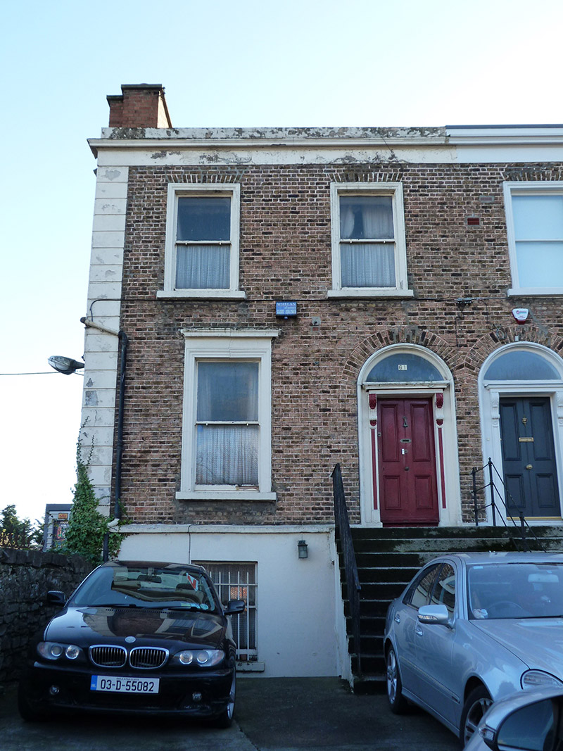
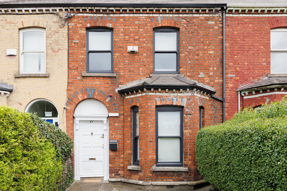
Semi-detached two-bay two-storey house over raised basement, built c. 1850 as one of pair, having shared return to rear (southeast) elevation. M-profile pitched artificial slate roof, hidden behind rendered parapet with moulded render cornice and eaves course, and with rendered chimneystacks to southwest end with clay pots. Red brick walling, laid in Flemish bond to front, with render quoins to southwest, on masonry plinth course over rendered basement walls; rendered masonry to northwest elevation; rendered brick to return. Square-headed window openings with moulded render architraves to ground and first floors, with moulded cornices to ground floor, and one-over-one pane timber sliding sash windows to front and rear; two-over-two pane and replacement timber to return; round-headed stairs window to rear. Round-headed doorway with moulded render surround, carved timber doorcase comprising panelled pilasters having scrolled brackets supporting timber frieze and plain fanlight, and timber panelled door. Entrance approached by shared flight of ten granite steps, with platform having decorative cast-iron bootscrape, wrought-iron handrails, that to shared side having decorative cast-iron elements. carparking to front, partly bounded to footpath by remains of original decorative cast-iron railings on rendered rubble limestone plinth wall with granite coping.
This house, which forms part of an architectural set-piece mirroring its neighbour, retains its essential form and character. It is enhanced by subtle decorative plasterwork, placing this building within a mid-nineteenth-century context, during an early phase of residential development on the Howth Road. The well-designed doorcase exhibits skilled artisanship and the cast-ironwork to the railings contributes to the residential character of the streetscape, providing a sense of enclosure marking the private space belonging to the house. The house forms part of a group that represents the spread of suburban areas in Dublin City at the turn of the twentieth century.
This does not grant access. Most recorded buildings are privately owned; view them only from public ground unless the owner allows entry.
Places near here
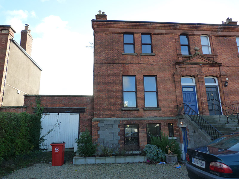 Elsinorehouse · 47 yd
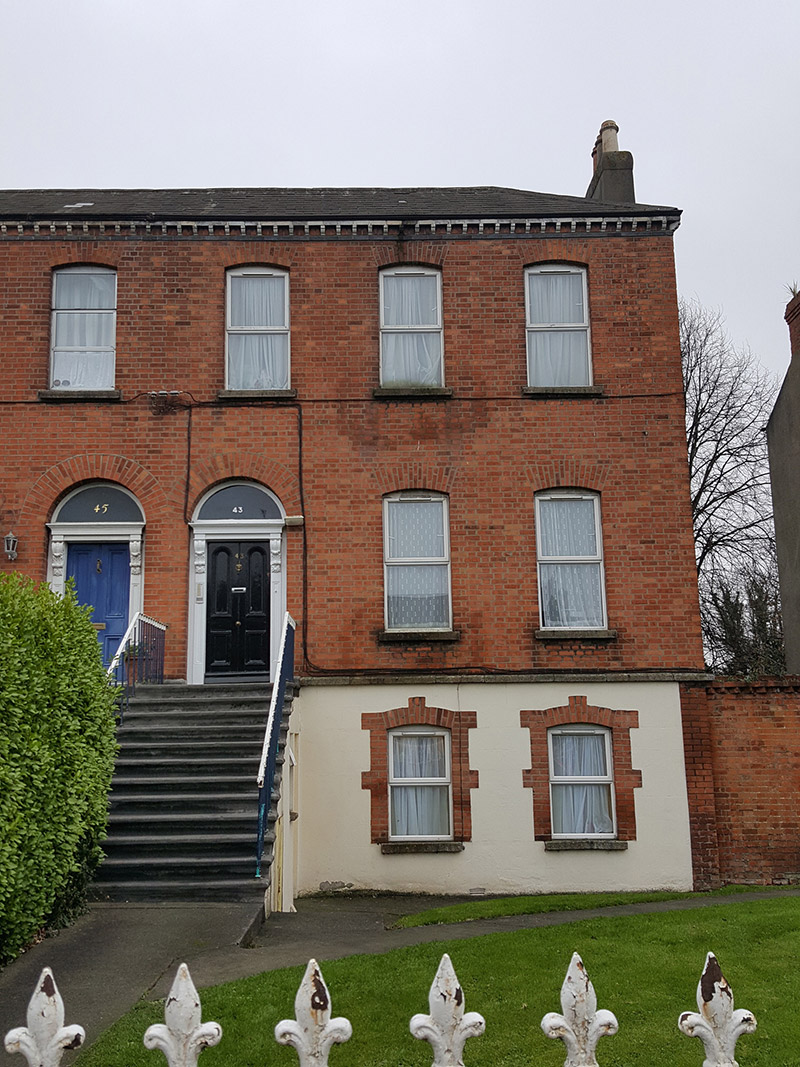 Altonahouse · 108 yd
 Burial in Unknown TownlandBurial · 373 yd
 Battle of ClontarfVisitor information · 469 yd
 London PlaneLondon Plane · 530 yd
 StudioGallery · 603 yd
 Casino at MarinoHeritage attraction · 712 yd
 East Point Business ParkVisitor information · 981 yd
 St. Dennis WellHoly well · 998 yd
 Seán Russell Memorial StatueMemorial · 1141 yd
 Clontarf War MemorialMemorial · 1529 yd
 St Josephs Asylum for the BlindCastle, unclassified · 1.0 mi
Other information
Photo: National Inventory of Architectural Heritage · Website use allowed for educational or private purposes with source credit