
What is recorded here
Annotated St. Dennis' Well on the 1837 ed. OSi 6-inch and as St. Philip's Well on the Cassini ed. OSi 6-inch map. Annotated 'St. Philip's Well (Site of) on the 1863 ed. OSi 25-inch map. The site of this well is situated in the front of No. 35 Stiles Road. This was formerly part of a demesne NW of Clontarf Castle (Dillon-Cosgrave 1977, 120; Ó Danachair 1958, 79). Stiles Lane has since been developed with housing estates. A tarmacadamed area at No. 35 Stiles Road is identified locally as the site of the well.
Compiled by: Geraldine Stout
Revised by: Caimin O'Brien
Date of revised upload: 19 April 2023
St. Dennis Well is associated with St. Dennis (or Denys), a 3rd-century Breton saint venerated in parts of Ireland and Britain, often linked to healing and protection. The name discrepancy with St. Philip may reflect local confusion or a historical conflation of saints in the region.
The monument record does not grant public access. Check the route and ask the landowner before entering private land.
- What survives
- Recorded monument
Places near here
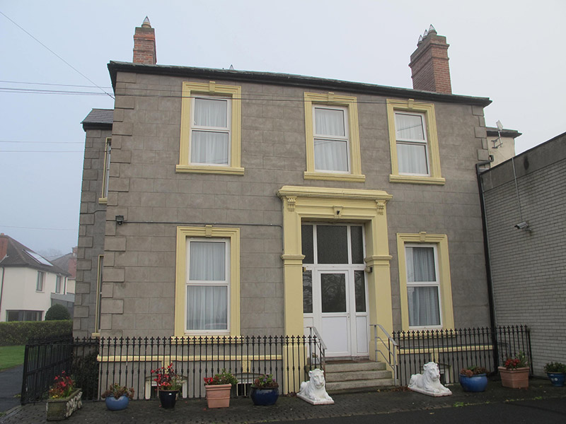 De La Salle Provincialatehouse · 93 yd
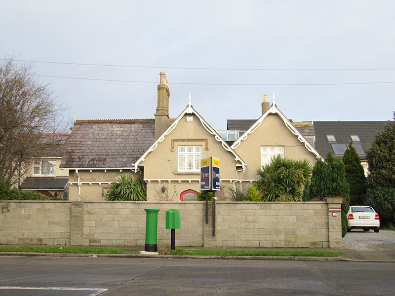 Beech Lodgegate lodge · 116 yd
 Church (in ruins)Graveyard · 448 yd
 Clontarf Castle HotelVisitor information · 604 yd
 Clontarf War MemorialMemorial · 698 yd
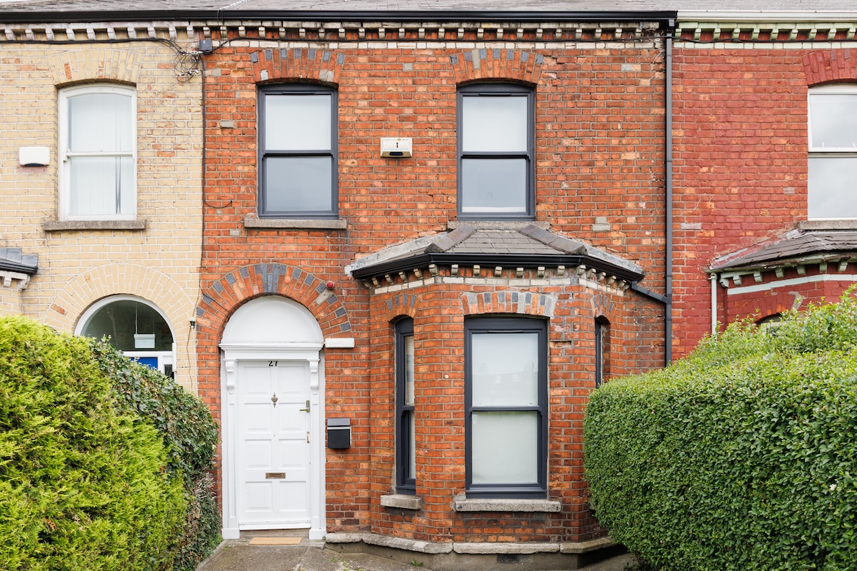 StudioGallery · 850 yd
 Pump and Site of Old Lead MineMine, lead · 939 yd
 Battle of ClontarfVisitor information · 965 yd
 Casino at MarinoHeritage attraction · 1317 yd
 London PlaneLondon Plane · 1371 yd
 St Josephs Asylum for the BlindCastle, unclassified · 1.6 mi
 Killing of David Byrnemurder · 1.6 mi
Other information
Photo: Credit not shown in the picture search · Rights wording not checked; contact us if this picture should be removed