What is recorded here
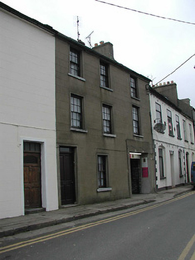
Terraced three-bay three-storey house, between 1828-40, with square-headed carriageway to right ground floor. Reroofed and renovated, c.1975, with carriageway remodelled. One of a group of five. Pitched (shared) roof with replacement fibre-cement slate, c.1975, clay ridge tiles, replacement red brick Running bond chimney stack, c.1975, having stepped capping supporting terracotta pots, rendered coping to party wall, and iron rainwater goods on rendered stepped eaves over red brick header bond construction having iron ties. Rendered, ruled and lined walls possibly replacement over random rubble stone construction. Square-headed window openings with cut-stone sills, rendered surrounds, and six-over-six timber sash windows. Square-headed door opening with cut-granite step, rendered surround, and timber panelled door having overlight. Square-headed carriageway to right ground floor remodelled, c.1975, with rendered, ruled and lined surround, and replacement iron double gates, post-1996, on cut-granite threshold. Street fronted with concrete footpath to front [SS].
A house of the middle size built as one of a group of five related units (remainder in group not included in survey) known as the Clarence Buildings after William Henry (1765-1837), Duke of Clarence and later King William IV (1830-7), possibly having connections with nearby Clarence House (see 15503135). Having been reasonably well maintained, the house remains as one of the last in the group to present an early aspect with the elementary composition attributes surviving in place together with much of the historic or original fabric, thereby upholding some of the character or integrity of the collective ensemble in the streetscape.
This does not grant access. Most recorded buildings are privately owned; view them only from public ground unless the owner allows entry.
Places near here
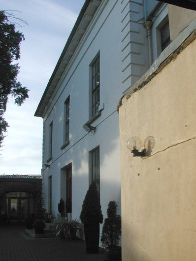 Clarence Househouse · 19 yd
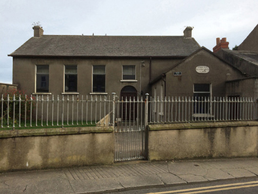 Wexford Society of Friends' Meeting Housemeeting house · 31 yd
 Halla KennyMemorial · 94 yd
 Michael CollinsMemorial · 137 yd
 The Collins-Grant GalleryGallery · 182 yd
 Field boundary in Townparks (st. Peter's Par.) (part of )Field boundary · 219 yd
 Town WallTown defences · 312 yd
 Three Sisters River CruisesHeritage attraction · 333 yd
 Siege of Wexfordsiege · 527 yd
 Sack of Wexfordsiege · 530 yd
 Site of CastleCastle, unclassified · 2.0 mi
 Castle (in ruinis)Castle, tower house · 2.1 mi
Other information
Photo: National Inventory of Architectural Heritage · Website use allowed for educational or private purposes with source credit