
What is recorded here
Archaeological testing (02E1684) uncovered a section of a ditch (Wth 1.7m plus; D 1m) cut in the subsoil that ran NW-SE perpendicular to Waterloo Road, c. 30m to the NW (Stafford 2004). It may have formed a boundary at the SW edge of the Franciscan friary (WX037-032019-) c. 100m to the NE, but further monitoring failed to add any further information (Stafford 2007).
Compiled by :Michael Moore
Date of upload: 20 December, 2012
The monument record does not grant public access. Check the route and ask the landowner before entering private land.
- What survives
- Recorded monument
Places near here
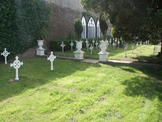 Presentation Conventgraveyard/cemetery · 50 yd
 Saint Aidan'spresbytery/parochial/curate's house · 63 yd
 Michael CollinsMemorial · 227 yd
 St. Margarets WellHoly well · 279 yd
 Halla KennyMemorial · 308 yd
 The Collins-Grant GalleryGallery · 309 yd
 site of St. Bridgets ChurchChurch · 371 yd
 Three Sisters River CruisesHeritage attraction · 522 yd
 Siege of Wexfordsiege · 658 yd
 Sack of Wexfordsiege · 660 yd
 Castle (in ruinis)Castle, tower house · 1.9 mi
 Site of CastleCastle, unclassified · 2.0 mi
Other information
Photo: Credit not shown in the picture search · Rights wording not checked; contact us if this picture should be removed