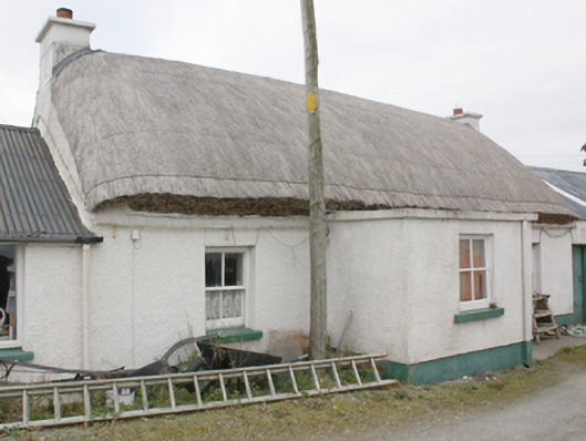
What is recorded here
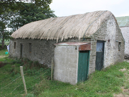
Detached four-bay single-storey vernacular house, built c. 1800, with single-bay single-storey entrance porch to front and outbuildings to both gables. Rounded pitched thatched roof with netting restraint and metal rope stays to eaves, smooth rendered chimneystacks with stepped coping and terracotta pots to gables.…
Read the whole record
From the Buildings of Ireland (National Inventory of Architectural Heritage) record 40902227
Places near here
Photo credits
- Andreas F. Borchert, Wikimedia Commons · CC BY-SA 4.0
- Maker not stated on source page, ru.pinterest.com
- National Inventory of Architectural Heritage
- Kenneth Allen, Geograph · CC BY-SA 2.0
- Richard Webb / Geograph Ireland, www.geograph.ie
- MoorsoP, Wikimedia Commons · CC BY-SA 4.0
- Patrick Mackie, Geograph · CC BY-SA 2.0
- Rossographer, Geograph · CC BY-SA 2.0
 St. Mary's Catholic ChurchChurch/chapel · 322 yd
Explorer Tom St. Mary's Catholic Church in Ballybrack replaced an older chapel and has a tower that acts as a local landmark. The…
 Mapped graveyardGraveyard · 324 yd
Explorer Tom Mapped graveyard in County Donegal is where a Viking got so drunk he buried his sword next to a turnip by accident. He…
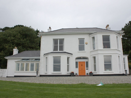 Drumaweir HouseHouse · 681 yd
Explorer Tom Drumaweir House in Drumaweir is the subject of a bad poem someone wrote about it, which mentions its sling sash windows…
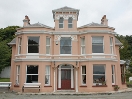 Glenburnie HouseHouse · 828 yd
Explorer Tom Glenburnie House was built for Mr. Bartholomew McCorkell, who apparently loved watching sailing ships slide past Lough…
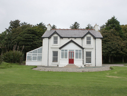 Portachappel HouseHouse · 884 yd
Explorer Tom House in Mountcharles has retained its timber sash windows and early timber panelled door despite some renovations.…
 outbuilding890 yd
Explorer Tom Outbuilding in Ballybrack has a rough date stone that says 'Built 1948 J Kelly'. I bet J Kelly was very proud of his…
 St. Finian Church of Ireland ChurchChurch/chapel · 1068 yd
Explorer Tom St. Finian Church of Ireland Church has louvers on its tower that look like they’re breathing! Built c. 1782, I bet…
 Inishowen Maritime Museum and PlanetariumMuseum · 1356 yd
Explorer Tom Greencastle keeps its maritime museum in an old coastguard station beside the harbour, which is a fair way of letting…
 Carrick Field, Moville GAAGAA ground · 1459 yd
 GreencastleCastle · 1.2 mi
Explorer Tom Greencastle's Northburgh Castle holds a stony position above Lough Foyle, as if it still intends to ask every passing…
 CrockaulinMountain / peak · 1.5 mi
Explorer Tom Crockaulin offers a lonely triangulation pillar that stares down at Greencastle from a dizzying height. I reckon that…
 Martello tower on magilligan point in Doaghs LowerMartello Tower on Magilligan Point · 1.7 mi
Explorer Tom Martello tower on magilligan point in Doaghs Lower is throwing a century-old tantrum. It claims to be a fortress but…
More historic places in County Donegal · All of County Donegal

What do you know about this place?Tap to add a comment or ask a question