
Places near here
Photo credits
- National Inventory of Architectural Heritage
- Kenneth Allen, Geograph · Creative Commons Attribution-ShareAlike 2.0
- Caroline McLaughlin / Donegal Live, Source publisher
- Andreas F. Borchert, Wikimedia Commons · CC BY-SA 4.0
- Picture: Simpson's Bar & Restaurant
- Kenneth Allen, Geograph · CC BY-SA 2.0
- Picture: Think Business
- Picture: Barrack Hill Town Park
- Donegal Daily; photographer not named, Source publisher
 Strawbridge BridgeBridge · 1.1 mi
Explorer Tom Strawbridge Bridge has strutted across the Glennagannon River since c. 1800, its segmental arches a testament to…
 Brachán HouseHouse · 1.1 mi
Explorer Tom Brachán House, built around 1800, caught my eye with its rounded thatch tied against Inishowen's wind. Then I learned…
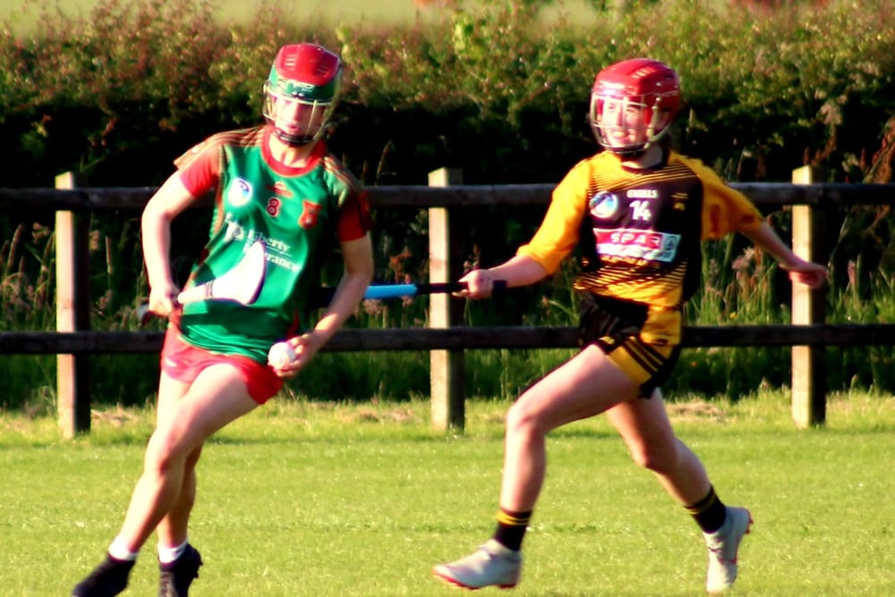 Páirc O’Dochartaigh, CarndonaghGAA ground · 1.2 mi
Explorer Tom Páirc O’Dochartaigh is Carndonagh’s Gaelic games home at Foden, where football, hurling and camogie have all found room…
 Stone CrossesCross, High cross · 1.6 mi
Explorer Tom Welcome to *Stone Crosses* at Carrowmore, where a plain high cross stands on one side of a modern road, part of the old…
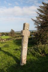 Carrowmore Ecclesiastical EnclosureEcclesiastical enclosure · 1.6 mi
Explorer Tom Carrowmore Ecclesiastical Enclosure has a hidden double ditch revealed by magnetometry, plus a flat boulder that might…
 Simpson's Bar & RestaurantPub · 1.8 mi
Explorer Tom Simpson's Bar & Restaurant in Carndonagh has a fairy dispute over parking rights that’s getting silly. Grab a drink…
 Farren's RestaurantRestaurant · 2.0 mi
Explorer Tom Farren's Restaurant is serving up mystery meat while a certain bishop refuses to visit the place. The specials change…
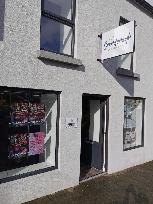 Visit CarndonaghVisitor information · 2.1 mi
Explorer Tom Visit Carndonagh in County Donegal is where the builder was really thinking, 'I’ll just put this here and hope nobody…
 Barrack Hill Community GardensGarden · 2.2 mi
Explorer Tom Follow the growers on Barrack Hill and you will find sixteen raised beds and three polytunnels. One starts the…
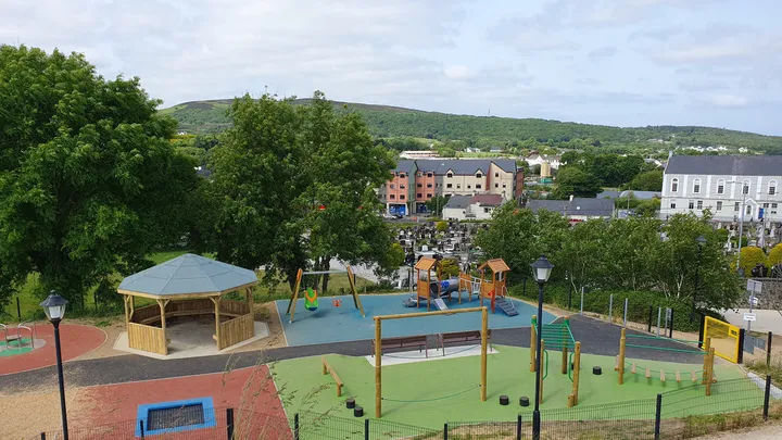 Barrack Hill Town Park PlaygroundChildren's playground · 2.2 mi
Explorer Tom At Barrack Hill, little legs get the climbing frames, swings, balance beams and monkey bars. The roundabout was…
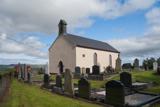 Carndonagh Early Church GraveyardGraveyard · 2.5 mi
Explorer Tom Carndonagh Early Church Graveyard makes me slow the map down: it surrounds an eighteenth-century church thought to…
 Connolly Park, MalinGAA ground · 2.5 mi
Explorer Tom Connolly Park is Malin’s proud patch of Gaelic games, up near the tip of Inishowen where an away team has already had…
More historic places in County Donegal · All of County Donegal

What do you know about this place?Tap to add a comment or ask a question