What is recorded here
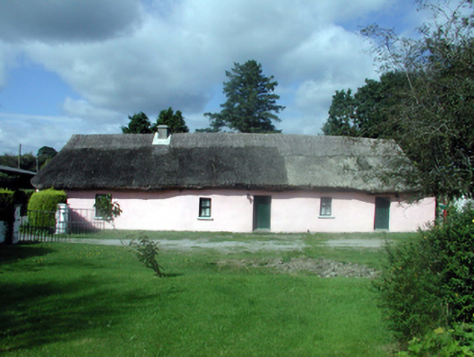
Detached six-bay single-storey thatched cottage, c.1760, possibly originally three-bay single-storey. Renovated and refenestrated, c.1985. Hipped roof with reed thatch having rope work to ridge, and replacement cement rendered chimney stack, c.1985. Painted rendered walls with slight batter. Square-headed window openings with stone sills, and replacement timber casement windows, c.1985. Square-headed door opening with replacement tongue-and-groove timber panelled door, c.1985. Set in own grounds perpendicular to road with courtyard to south, and side (west) elevation fronting on to road. (ii) Detached two-bay single-storey rubble stone outbuilding, c.1810, to east. Reroofed, c.1985. Pitched roof with replacement corrugated-iron, c.1985, iron ridge tiles, rendered coping, and no rainwater goods. Limewashed random rubble stone walls. Square-headed door opening with timber lintel, and timber boarded door. (iii) Detached two-bay single-storey outbuilding, c.1810, to south-east. Reroofed, c.1960. Pitched roof with replacement corrugated-asbestos, c.1960, concrete ridge tiles, rendered coping, and cast-iron rainwater goods. Limewashed roughcast lime rendered walls over random rubble stone construction. Square-headed door openings with timber lintels, and timber boarded doors.
A well-maintained cottage contributing considerably to the historic character of the locality. The cottage forms an important element of the vernacular heritage of County Waterford, as identified by the long, low massing, the diminutive proportions to the irregularly-displaced openings, the construction in locally-sourced materials, and the thatched roof. The survival of a collection of outbuildings, each of which is of some vernacular interest, enhances the group and setting values of the site.
This does not grant access. Most recorded buildings are privately owned; view them only from public ground unless the owner allows entry.
Places near here
 Embanked enclosureFairy fort / ringfort · 590 yd
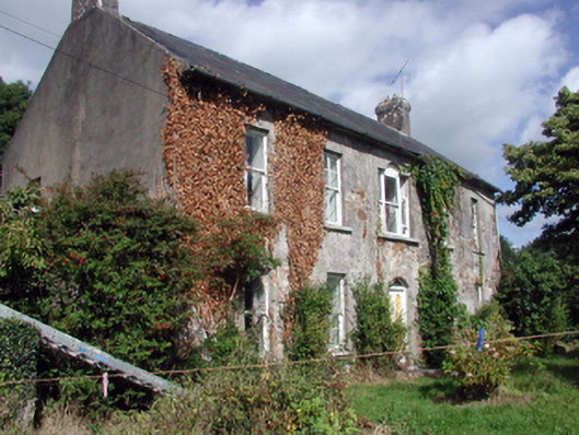 Brook Lodgefarm house · 713 yd
 Lady WellHoly well · 907 yd
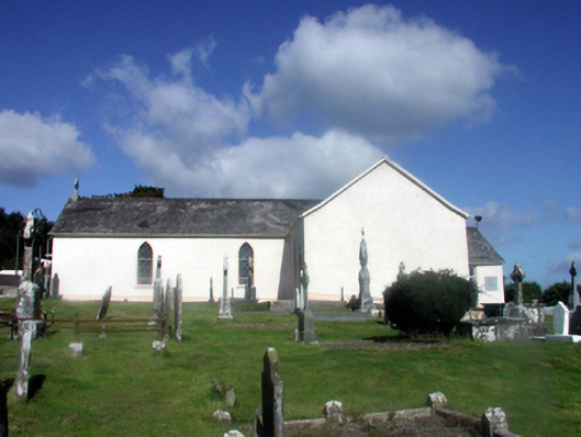 Catholic Church of Our Lady of the Assumptionchurch/chapel · 1107 yd
 Abbey (in ruins)Castle, tower house · 1.6 mi
 Black HillMountain / peak · 1.6 mi
 Kilgreany CaveCave · 2.7 mi
 Coillte infoboardVisitor information · 2.9 mi
 site of CastleCastle, unclassified · 3.1 mi
 Glenshelane Red WalkWalking route · 3.5 mi
 Battle of AffaneMajor battlefield · 3.5 mi
Other information
Photo: National Inventory of Architectural Heritage · Website use allowed for educational or private purposes with source credit