
What is recorded here
Situated on rock outcrop overlooking the N-S Finisk River, with the stream c. 200m to the E. This is an oval depression excavated from rock outcrop (dims. 2.2m E-W; 1.6m N-S; D 0.6-0.8m) which may be an ancient shrine. Patterns were formerly held here on August 15th. (Beary 1911; Forsayeth 1911b)
Beary, M. (1911a) Miscellanea - 'Holy well at Modeligo,' JRSAI 41, 393-4.
Forsayeth, G. W. (1911b) Miscellanea - 'Holy well near Modeligo, Co. Waterford' JRSAI 41, 186-7.
The above description is derived from the published 'Archaeological Inventory of County Waterford' (Dublin: Stationery Office, 1999). In certain instances the entries have been revised and updated in the light of recent research.
Date of upload/revision: 23rd March, 2011. Compiled by: Michael Moore.
Linked to a local tradition of healing, the well may have been dedicated to the "Lady," a common medieval term for the Virgin Mary or a regional saint. The site's association with a rock-cut depression suggests a long history of ritual use, possibly pre-Christian in origin, later Christianized.
The monument record does not grant public access. Check the route and ask the landowner before entering private land.
- What survives
- Recorded monument
Places near here
 Embanked enclosureFairy fort / ringfort · 330 yd
 Church in ruinsChurch · 722 yd
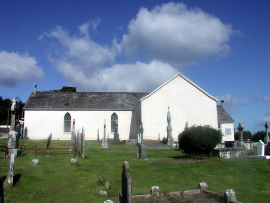 Catholic Church of Our Lady of the Assumptionchurch/chapel · 756 yd
 (Site of) LisnagreeFairy fort / ringfort · 969 yd
 Black HillMountain / peak · 1.2 mi
 Abbey (in ruins)Castle, tower house · 1.4 mi
 Kilgreany CaveCave · 2.7 mi
 site of CastleCastle, unclassified · 3.3 mi
 Coillte infoboardVisitor information · 3.4 mi
 Master McGrathMemorial · 3.7 mi
 Glenshelane Red WalkWalking route · 3.9 mi
Other information
Photo: Credit not shown in the picture search · Rights wording not checked; contact us if this picture should be removed