What is recorded here
A house at Portaghard is marked on a Longfield map of 1762 in NLI (ms. 21. F. 45 (91). It was not encountered.
Compiled by: Michael Moore
Date of upload: 24 August 2010
The monument record does not grant public access. Check the route and ask the landowner before entering private land.
- What survives
- Recorded monument
Places near here
 Multivallate enclosureFairy fort / earthen ringfort · 1061 yd
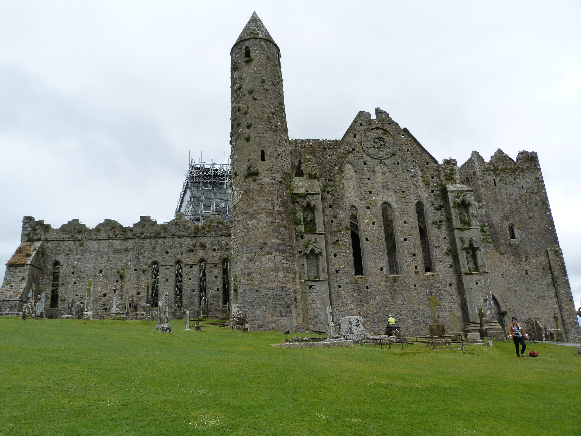 CashelArchaeological place · 1129 yd
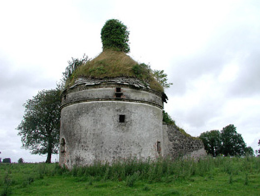 Frenchpark Housebuilding misc · 1.5 mi
 Frenchpark Ho.Castle, unclassified · 1.5 mi
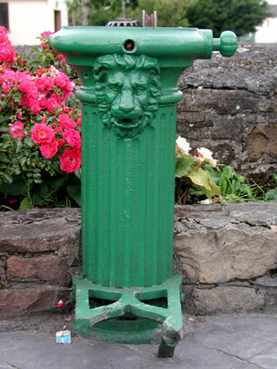 water pumpwater pump · 1.9 mi
 Square WoodForest · 1.9 mi
 Gray's WoodForest · 2.0 mi
 CastleBawn · 2.3 mi
 Bawn IslandIslet · 2.4 mi
 Fairymount HillMountain / peak · 2.9 mi
 Rose PointHeadland · 4.0 mi
 Castle PointHeadland · 4.8 mi