What is recorded here
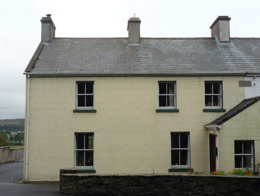
Semi-detached two- or three-bay two-storey local authority house, dated 1911, with single-bay single-storey gabled projecting porch to ground floor. One of a pair. Pitched slate roof including pitched (gabled) slate roof to porch with clay or terracotta ridge tiles, rendered chimney stacks centred on rendered chimney stack having stringcourses below capping supporting terracotta pots, and replacement uPVC rainwater goods on timber eaves boards. Rendered, ruled and lined walls centred on cut-limestone date stone ("1911"). Square-headed window openings with cut-limestone sills, and concealed dressings framing two-over-two timber sash windows. Set back from line of road.
A house erected by Westport Urban Council as one of a pair representing an integral component of the early twentieth-century domestic built heritage of Westport. Having been well maintained, the elementary form and massing survive intact together with substantial quantities of the original fabric, thus upholding the character or integrity of a house making a pleasing visual statement in Quay Road.
This does not grant access. Most recorded buildings are privately owned; view them only from public ground unless the owner allows entry.
Places near here
 Galmoyhouse · 243 yd
 BaldcypressBaldcypress · 300 yd
 Pirate QueenHeritage attraction · 459 yd
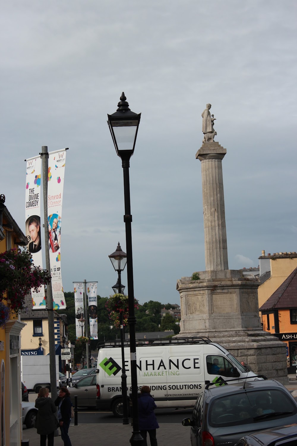 CahernamartEnclosure · 474 yd
 Westport Housechurch/chapel · 483 yd
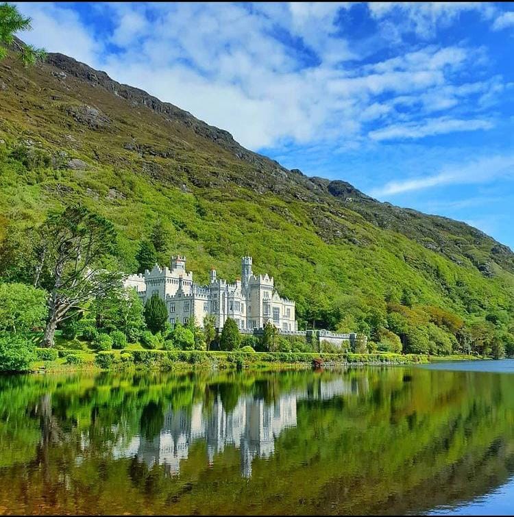 ToberavowerHoly well · 595 yd
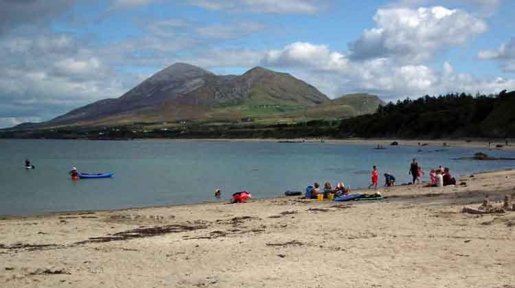 Garvillaun PointHeadland · 1416 yd
 Clew Bay Heritage CentreMuseum · 1419 yd
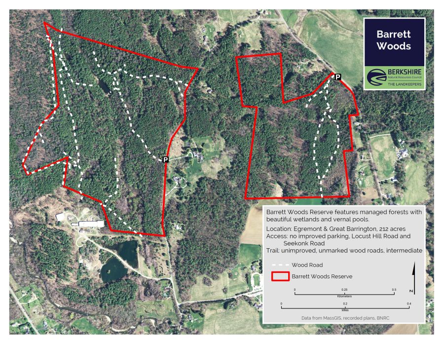 Barrett's WoodWood · 1666 yd
 Barrett's HillMountain / peak · 1757 yd
 Site of Bawn CastleCastle, unclassified · 2.1 mi
 CastleCastle, unclassified · 2.2 mi
Other information
Photo: National Inventory of Architectural Heritage · Website use allowed for educational or private purposes with source credit