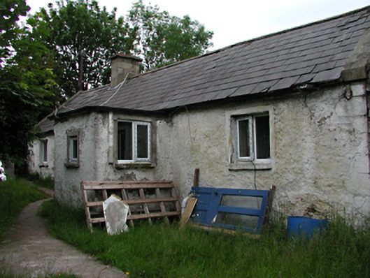
What is recorded here
Detached four-bay single-storey house, c.1820. Rendered rubble walls. uPVC casement windows. Timber door in porch. Brick eaves course, blank gables and rere (west) elevation to road. Gable coping with returned kneelers. Pitched slate roof and rendered chimney stacks. Lean-to outbuilding to north. Projecting stone in gable possibly used to secure original thatch ropes.
This vernacular house forms part of a group of adjacent buildings, in a clachan or farm village. It has local stylistic features including returned kneelers, linear development and blind rere walls. Such features maintain local rural identity and reflect old social structures.
This does not grant access. Most recorded buildings are privately owned; view them only from public ground unless the owner allows entry.
Places near here
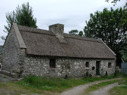 Glenasmole Cottagefarm house · 19 yd
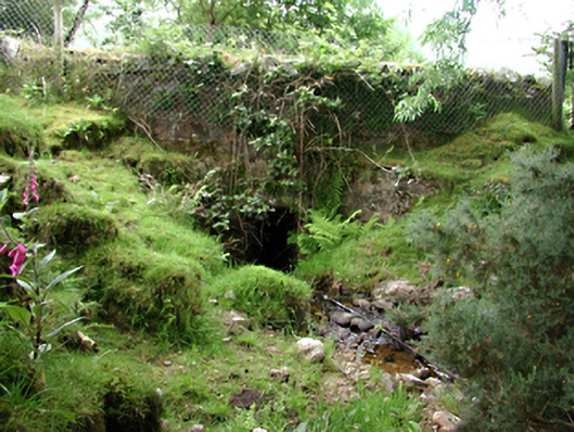 bridgebridge · 97 yd
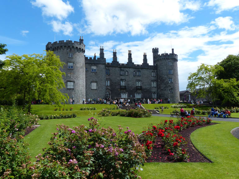 CastleCastle, unclassified · 651 yd
 (Site of) St Anns ChapelEcclesiastical site · 775 yd
 Saint Ann's GraveyardRuins · 778 yd
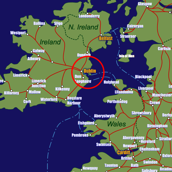 Field system in CunardField system · 796 yd
 Saint Ann's WellSpring · 818 yd
 SpinkeenMountain / peak · 1357 yd
 Featherbed ForestForest · 1466 yd
 Killakee MountainMountain / peak · 1.3 mi
 Dublin Mountains Way - Hellfire & Massey spurWalking route · 1.4 mi
 Dublin Mountains Way Hellfire & Massey SpurWalking route · 1.4 mi
Other information
Photo: National Inventory of Architectural Heritage · Website use allowed for educational or private purposes with source credit