What is recorded here
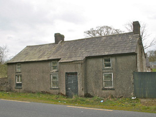
Detached four-bay two-storey vernacular house, built c.1850, now vacant, with farm buildings to west. Originally comprised of three-bay house, extended by one bay to south. Pitched natural slate roof, gabled to north and south, with clay ridge tiles, and cast-iron rainwater goods. Two red brick chimneystacks, on north gable end and at junction with extension to south. Roughcast rendered walls. Square-headed window openings, having one-over-one pane timber sliding sash windows, diminishing to first floor, with rendered reveals and painted stone sills. Breakfront to front elevation, rising to meet slope of roof as catslide. Square-headed door opening with replacement metal door, having rectangular paned coloured glass over-light. Two-storey farm buildings to west, having pitched slate roofs and exposed rubble and limewashed stone walls, square-headed openings and external steps to loft to north elevation of outbuilding. Wrought-iron traffic gate to south, hanging on one roughcast rendered round-plan gate pier with render conical cap. Located to west of Castleblayney to Keady road, south of Creaghanroe crossroads.
Although no longer in use, this vernacular house has retained its typical features such as timber sash windows and its paned over-light. The windbreak porch is characteristic of Irish vernacular houses and the enclosed farmyard is enhanced by the wrought-iron entrance gate. The house was labelled 'Creaghanroe Post Office' on the 1908 Ordnance Survey map. The structure is a picturesque addition to the main Castleblayney to Armagh road via Keady, and would have been of significant social importance in its former use as a post office.
This does not grant access. Most recorded buildings are privately owned; view them only from public ground unless the owner allows entry.
Places near here
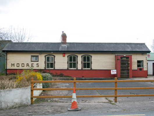 Creaghanroe Railway Stationrailway station · 219 yd
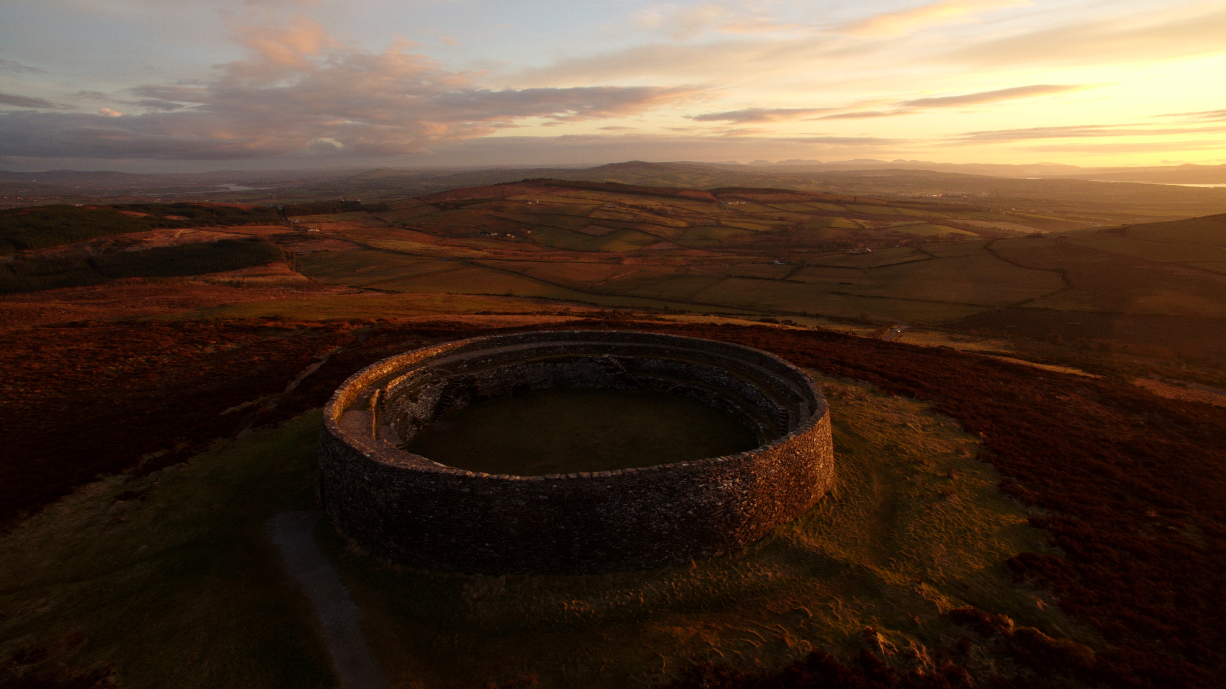 Lisnagreeve fortFairy fort / earthen ringfort · 1053 yd
 Enclosure in AnnagloghEnclosure · 1.3 mi
 mill (water)mill (water) · 1.4 mi
 Monaghan WayWalking route · 1.5 mi
 Mullyash MountainMountain / peak · 2.7 mi
 John Francis GreenMemorial · 2.8 mi
 Harper's IslandIslet · 3.2 mi
 Garmany's IslandIslet · 3.4 mi
 Big Tom Memorial StatueMemorial · 3.5 mi
 Blaney CastleCastle · 3.6 mi
 Bawn in OnomyBawn · 3.6 mi
Other information
Photo: National Inventory of Architectural Heritage · Website use allowed for educational or private purposes with source credit