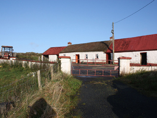
What is recorded here
Detached four-bay single-storey direct-entry vernacular house built c. 1860, with bed outshot to rear and outbuildings to both gables. Pitched thatched roof with chicken-wire and rope net attached to iron bar to eaves, rectangular brick chimneystacks with stepped cap to both gables; pitched corrugated-metal roof to…
Read the whole record
From the Buildings of Ireland (National Inventory of Architectural Heritage) record 40902944
Places near here
Photo credits
- Maker not stated on source page, www.peek.com
- Maker not stated on source page, www.youtube.com
- National Inventory of Architectural Heritage
- Maker not stated on source page, www.tripadvisor.ca
- Maker not stated on source page, en.wikipedia.org
- Maker not stated on source page, www.bigstockphoto.com
- Richard Webb, Wikimedia Commons · CC BY-SA 2.0
- Maker not stated on source page, www.dreamstime.com
- Andreas F. Borchert, Wikimedia Commons · CC BY-SA 4.0
- David Dixon, Geograph · CC BY-SA 2.0
 CairnCairn, unclassified · 338 yd
Explorer Tom Cairn in Ballynakeeloge was designed by a very particular mother-in-law who insisted every stone had to be exactly the…
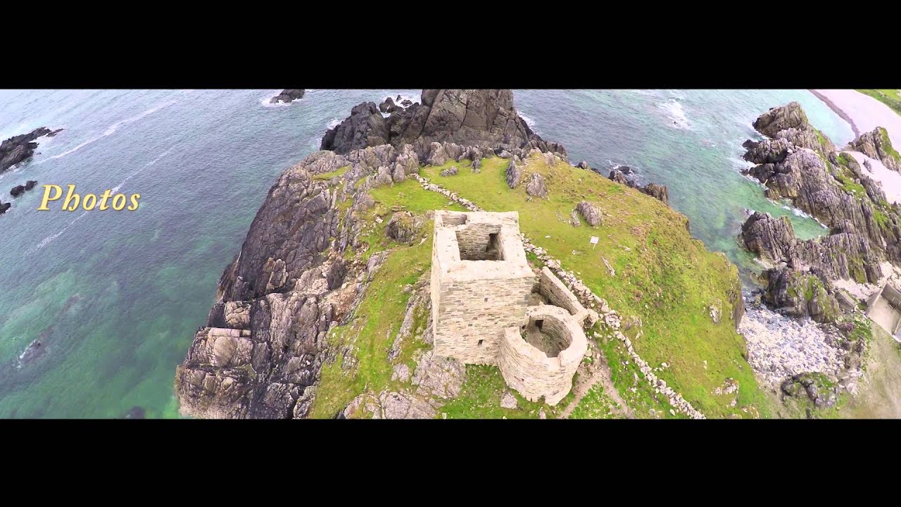 Enclosure in FoffanaghEnclosure · 1162 yd
Explorer Tom Enclosure in Foffanagh sits on a rocky slope with sweeping views of Lough Swilly. It’s just a pile of stones and a…
 Glashagh BridgeBridge · 1529 yd
Explorer Tom Glashagh Bridge is a humpback beauty from c. 1860 that refuses to look tired. The elliptical arches and squared…
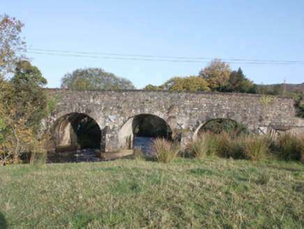 Druminderry BridgeBridge · 1717 yd
Explorer Tom Druminderry Bridge is a c. 1800 work of stone that has spanned the Crana River for two hundred years without…
 Druminderry Chambered CairnCairn, unclassified · 1.0 mi
Explorer Tom Druminderry Chambered Cairn is just a small, six-metre stone heap, barely a metre high. It used to be a proper…
 Standing stone in Druminderry Upper and LowerStanding stone · 1.1 mi
Explorer Tom The Standing stone in Druminderry Upper And Lower ended up in the wrong place because it fell asleep during a move and…
 Standing stone in KinnagoeStanding stone · 1.3 mi
Explorer Tom Standing stone in Kinnagoe has totally collapsed into a deep nap! It used to stand up tall, but now it’s just lying…
 Slieve MainMountain / peak · 2.0 mi
Explorer Tom Slieve Main is recorded as a mountain / peak in County Donegal, and it looks like a solid, reliable sort of hill. I…
 Slieve SnaghtMountain / peak · 3.0 mi
Explorer Tom Slieve Snaght has a namesake in Donegal, so I checked the map twice before announcing that I had found the snow…
 Greenhill GraveyardGraveyard · 5.3 mi
Explorer Tom Greenhill Graveyard has a curved wall that might follow an older enclosure, though the survey keeps that as a…
 Eskaheen GraveyardGraveyard · 6.0 mi
Explorer Tom Eskaheen Graveyard lies on high ground looking over Lough Foyle. The earlier survey recorded part of the old church's…
 LisfannonOfficial bathing water · 6.1 mi
Explorer Tom Lisfannon Beach has a good trick: it makes you walk through low dunes before it shows you the full width of Lough…
More historic places in County Donegal · All of County Donegal

What do you know about this place?Tap to add a comment or ask a question