
What is recorded here
The poorly presevred remains of a possible enclosure situated on a low rise of rock outcrop on the S facing slope of Kinnagoe Hill with panoramic views of Lough Swilly to the SW and W. Hut site (DG029-048) located 200m to the WNW. Possible enclosure (DG029-061) 35m to the SW and possible radial stone enclosure (DG029-062) 39m to the S. Present remains consist of a much denuded oval-shaped area (ext. diam. 17.7m E-W x 13.7m N-S) defined by a series of low upright stones with the remains of a collapsed stone structure in the E quadrant. The remains of a possible passage (Wth 0.5m; H 0.2m) defined by a single lintel stone resting on a drystone wall mcan still be seen amongst the collpased debris of a stone structure or chamber. This pasage appears to widen out into the remains of a possible collapsed chamber located in the E quadrant of the enclosure. The poor state of preservation makes classification of this monument problematical but it could be the remains of a robbed out cairn with possible chamber of a tomb in the E quadrant.
Compiled by: Caimin O'Brien
Date of upload/revision : 24 November 2010
The monument record does not grant public access. Check the route and ask the landowner before entering private land.
- What survives
- Recorded monument
Places near here
 Kinnagoe Stone RingfortFairy fort / stone ringfort · 1101 yd
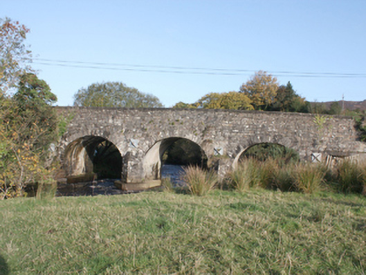 Druminderry Bridgebridge · 1127 yd
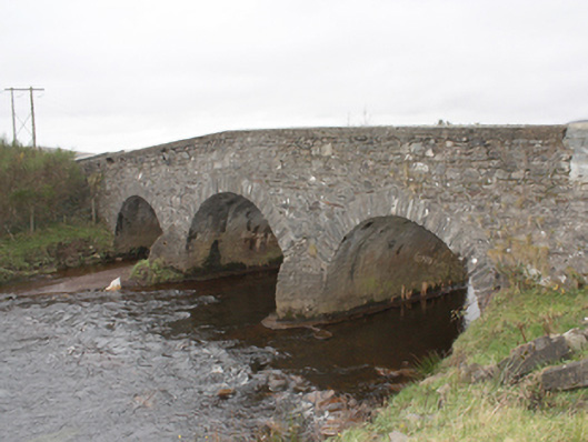 Kinnagoe Bridgebridge · 1720 yd
 Ballymagan Rocky EnclosureEnclosure · 1.9 mi
 Slieve MainMountain / peak · 2.2 mi
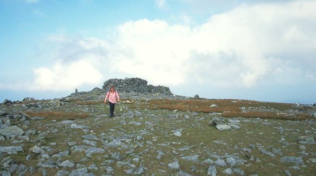 Slieve SnaghtMountain / peak · 3.2 mi
 O'Doherty's KeepCastle · 3.3 mi
 Lady's Bay, BuncranaOfficial bathing water · 3.7 mi
 Neds Point FortFort · 3.7 mi
 Stragill BeachBeach / strand · 4.0 mi
 Eskaheen GraveyardGraveyard · 6.6 mi
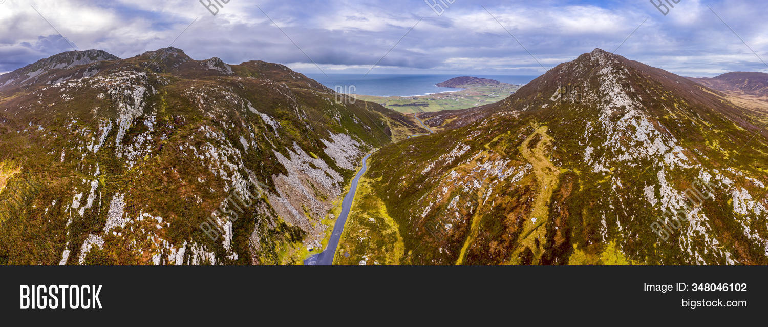 Gap of MarmoreHeritage attraction · 6.6 mi
Other information
Photo: Credit not shown in the picture search · Rights wording not checked; contact us if this picture should be removed