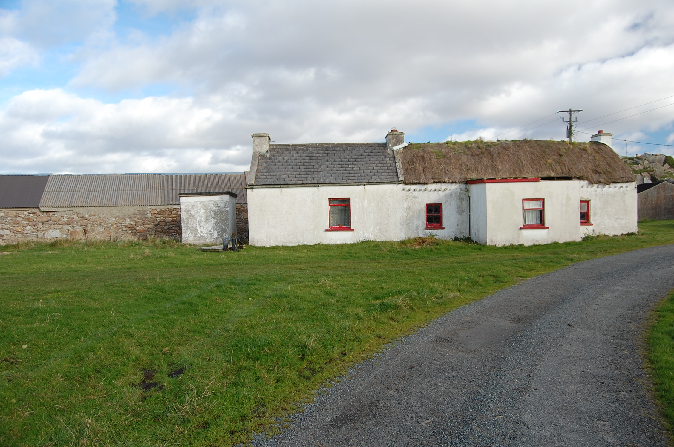
What is recorded here
Three-bay single-storey vernacular house, built c.1800, with later porch to front and with single-bay addition to north end, and extension to rear. Pitched straw thatched roof, roped to stone pegs at eaves, pitched slate roof to addition with rendered copings, and having three low rendered chimneystacks. Flat roofs to…
Read the whole record
From the Buildings of Ireland (National Inventory of Architectural Heritage) record 40903213
Places near here
Photo credits
- National Inventory of Architectural Heritage
- N Chadwick, Geograph · CC BY-SA 2.0
- Kieran Evans, Geograph · CC BY-SA 2.0
- Kenneth Allen, Wikimedia Commons · CC BY-SA 2.0
- Joseph Mischyshyn, Geograph · CC BY-SA 2.0
- John Daye at en.wikipedia, Wikimedia Commons · CC BY-SA 3.0
- Kenneth Allen, Geograph · CC BY-SA 2.0
- Rossographer, Geograph · CC BY-SA 2.0
- Sue Mischyshyn, Wikimedia Commons · CC BY-SA 2.0
- louise price, Wikimedia Commons · CC BY-SA 2.0
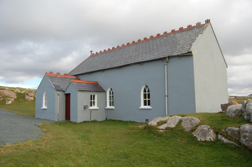 Saint Andrew's Church (Templecrone)Watch tower · 788 yd
Explorer Tom Saint Andrew's Church (Templecrone) was dedicated around 1870, perhaps incorporating an earlier coastguard watch house marked on an old map. Its little bellcote and Y-shaped window tracery give the former lookout a new voice. I imagine it trading sea warnings for a calmer job.
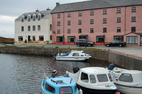 quay/wharf1736 yd
Explorer Tom Quay or wharf in Magheraclogher was built around 1850 on the Clady River’s north bank. Pink granite and limestone walls support its deck, with cast-iron bollards and mooring posts above. It is a modest structure with a large part in the area’s maritime story.
 CarrickfinnOfficial bathing water · 1.2 mi
Explorer Tom Carrickfinn brought a beach and then sneaked a meadow in behind it. Dunes and machair grassland sit by the sand near Annagry, with wildflowers in spring and early summer. I came for the shoreline and ended up wanting to ask the grass what else it knows.
 Braade StrandBeach / strand · 1.2 mi
Explorer Tom Braade Strand has some water sitting behind the beach. I reckon the tide just got confused about which way is up there.
 Stone Circle near Donegal AirportPublicly named stone circle · 1.5 mi
Explorer Tom Stone Circle near Donegal Airport is sitting on the flattest patch of earth I’ve ever seen. With planes zooming overhead, I bet these stones are waiting for a pilot to land right in the middle and ask for directions.
 Bonner's BarPub · 2.1 mi
Explorer Tom Bonner's Bar in County Donegal probably has a bonfire in the middle of the floor, even indoors. I suspect Bonner is a local legend who drinks so much he becomes part of the furniture.
 GabhlaIsland · 2.3 mi
Explorer Tom Gabhla has its old houses tucked along the sheltered east side while the western hills take the weather. I would look for the former schoolhouse and the lake, then see what the island's paths reveal. The first adventure is practical: confirm a boat before you pack.
 Sharkey’s BarPub · 2.6 mi
Explorer Tom Sharkey’s Bar in Annagary is a pub that sounds like it has a very opinionated owner named Sharkey. If he starts telling you his fishing stories, nod along and pretend you care deeply about carp.
 Annagary HillMountain / peak · 3.0 mi
Explorer Tom Annagary Hill. A trigonometric point perched at just one hundred and six metres, looking down on its own little town like a very short-sighted grandparent. I reckon the view is mostly rooftops and a bit of sky.
 An ChruitIsland · 3.7 mi
Explorer Tom An Chruit keeps ten thatched-roof cottages visible from Kincasslagh Peninsula. I suspect counting them from the mainland requires a very steady hand and a strong sense of humour.
 Cliffs of OweyPublicly named cliff or headland · 4.5 mi
Explorer Tom Standing at the Cliffs of Owey feels like looking into the soul of Donegal, though access can be a bit tricky.
 Cairn, LoughanurePublicly named cairn · 4.6 mi
Explorer Tom Cairn, Loughanure sounds like a giant pile of stones that decided to take a nap. Maybe it’s actually a sleeping dragon that just hasn’t woken up yet.
More historic places in County Donegal · All of County Donegal

What do you know about this place?Tap to add a comment or ask a question