What is recorded here
One of three Bronze Age houses at Mitchelstown, this dwelling measured 10.8m by 9.6m and stood with eleven post-holes around a central ash pit. Dated to 1419-1213 cal. BC, it faced east and may have been destroyed when the other two houses were built beside it. The dense stake-holes where the structures overlapped suggest people came and went before the final walls rose, filling the space with temporary life.
This is one of three houses (CO010-065----, CO010-066----) which were excavated in 2004 in advance of the construction of the Mitchelstown inner relief road. This house (10.8m N-S; 9.6m E-W) had been truncated by the other two houses. It comprised a ring of eleven post-holes and, though there was no evidence of a slot-trench, it may have been destroyed during the construction of the other houses. A hearth, comprising a large pit filled with ashes, survived near the centre of the house. The entrance (Wth c. 1m) faced to the E. According to the excavator, a dense cluster of stake-holes, occurring in the area where the three houses overlapped, may have represented earlier transitory activity (Cotter 2007, 65). Radiocarbon dates of 1419-1253 cal. BC and 1240-1213 cal. BC (2-sigma) were returned from charcoal recovered from the fill of the hearth in this house (Cotter 2008, 15). (Cotter 2007, 65; 2008)
The above description is derived from 'The Archaeological Inventory of County Cork. Volume 5' (Dublin: Stationery Office, 2009).
Date of upload: 22 December 2009
The monument record does not grant public access. Check the route and ask the landowner before entering private land.
- What survives
- Recorded monument
Places near here
 Mitchelstown Castle (in Ruins)Country house · 461 yd
 White Knights Tower (Site of)Castle, unclassified · 521 yd
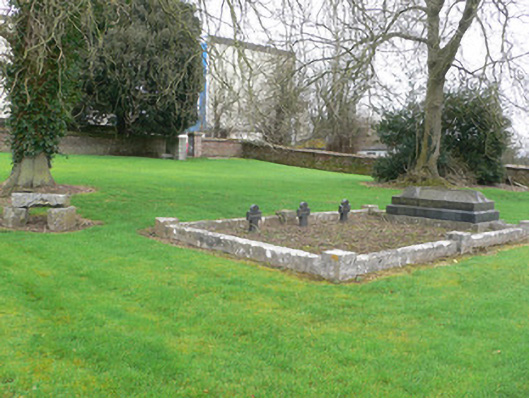 graveyard/cemeterygraveyard/cemetery · 644 yd
 Burnt mound in MitchelstownBurnt mound · 845 yd
 Sundays WellHoly well · 1254 yd
 John MandevilleMemorial · 1303 yd
 Mitchelstown Town MapVisitor information · 1317 yd
 Statue of Saint FanahanMemorial · 1553 yd
 Carriganoura Castle (in Ruins)Castle, tower house · 1.9 mi
 Ballyarthur HillMountain / peak · 2.8 mi
 FlagCave · 3.6 mi
 Combaun WoodsViewpoint · 4.0 mi