What is recorded here
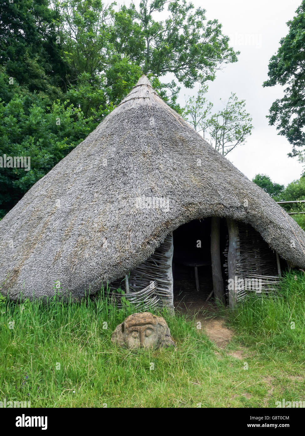
Mud and charcoal still mark the round footprint of a Bronze Age home, preserving the shape of a living room before roads or records existed. People stood at the southeast entrance, warmed themselves above the central hearth, and stored grain in pits west of the structure. The house may have been small, but it was complete: a place for food, fire, tools and ordinary time.
The remains of this timber house were excavated in 2001 in advance of the construction of the N8 Glanmire-Watergrasshill Bypass. The house (diam. c. 6m) was defined by a circle of post-holes (max. diam. 0.52m; max. D 0.51m) and consisted of a central hearth and a possible entrance at the SE. The hearth (diam. 0.62m; max. D 0.32m) was subcircular in shape and contained a number of fills of scorched, gritty material. A broken whetstone was found in one of the post-holes and a number of sherds of Beaker pottery were found in another. Two samples of oak charcoal from structural post-holes of the house were dated to between 1211 and 927 BC and to between 1189 and 919 BC (Sherlock 2005b, 34). According to Sherlock (2005b, 36), the pottery, which was thought to date to c. 2400-2200 BC, was clearly not found in an original context but rather in association with the significantly later Bronze Age house. A later phase of activity was noted at the N edge of the house, where material from a later hearth was found to seal a structural post-hole. A series of grain-storage pits and other miscellaneous pits (CO064-171----) were located to the W of the house. Two pit-burials (CO064-166----, CO064-168----) were situated 40m to the N and 210m to the S, respectively. (Sherlock 2003c, 45; Sherlock 2005b)
The above description is derived from 'The Archaeological Inventory of County Cork. Volume 5' (Dublin: Stationery Office, 2009).
Date of upload: 22 December 2009
The monument record does not grant public access. Check the route and ask the landowner before entering private land.
- What survives
- Recorded monument
Places near here
 Pit-burial in KillydonoghoePit-burial · 232 yd
 Site of Grave YardBurial ground · 595 yd
 Sarsfields Court (in Ruins)Castle, unclassified · 765 yd
 Butlerstown Housegate lodge · 912 yd
 Saint Stephen's Hospitalgate lodge · 974 yd
 Old Court (Site of)Castle, unclassified · 2.0 mi
 Carberrytown WoodWood · 2.2 mi
 Glanmire Heritage SocietyMemorial · 2.4 mi
 Cork WalksVisitor information · 5.1 mi
 Lavitts QuayMemorial · 5.3 mi
 Mount Hillary - Knightfield LoopWalking route · 23 mi
 European YewEuropean Yew · 24 mi
Other information
Photo: Credit not shown in the picture search · Rights wording not checked; contact us if this picture should be removed