Places near here
Photo credits
- Rossographer, Geograph · CC BY-SA 2.0
- National Inventory of Architectural Heritage
- Joseph Mischyshyn, Wikimedia Commons · CC BY-SA 2.0
- John Daye at en.wikipedia, Wikimedia Commons · CC BY-SA 3.0
- Wanfried-Dublin, Wikimedia Commons · CC BY-SA 4.0
- Rossographer, Wikimedia Commons · CC BY-SA 2.0
- Kenneth Allen, Geograph · CC BY-SA 2.0
- Kieran Evans, Geograph · CC BY-SA 2.0
- N Chadwick, Geograph · CC BY-SA 2.0
 Cnoc FolaVisitor information · 398 yd
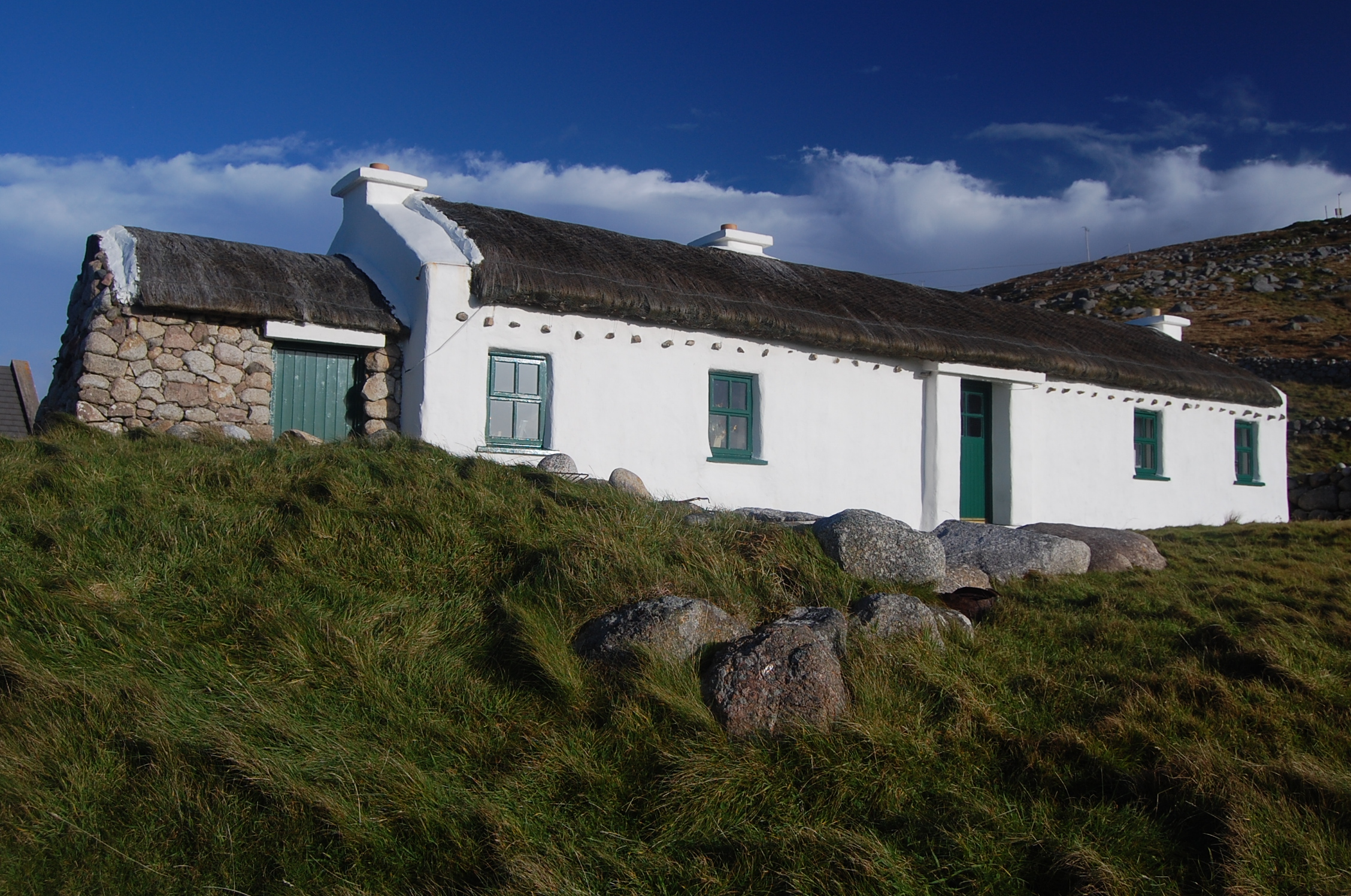
Explorer Tom Cnoc Fola Visitor Information has a family tree that is mostly made up by people who really wanted their name on a signpost, and I’m not sure where the truth ends. It stands there looking like it’s trying to remember if it was called Bloody Foreland or just Plain Old Hill, which is a great dilemma for a hill. Find the date carved somewhere and feel clever.
 Teach MhuirisHouse · 1094 yd
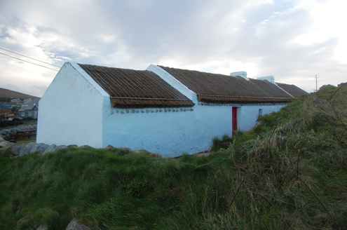
Explorer Tom Teach Mhuiris is wearing a thatched helmet held on by stone pegs and ropes. Built c.1860, I picture tugging one of those eave ropes to see if the whole roof lifts off like a giant, very damp hat.
 Teach Pobail Cholmcille Naofa [Saint Colmcille's Catholic Church]Church/chapel · 1.4 mi
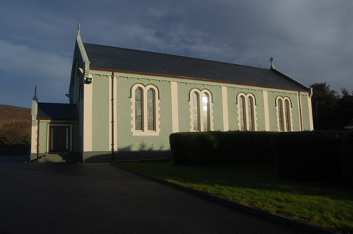
Explorer Tom Saint Colmcille's Catholic Church in Brinlack has these zigzag Celtic chevrons staring at me from the porch window. I picture them marching in perfect little lines, refusing to step out of formation even when it rains.
 Inis OirthirIsland · 2.1 mi
Explorer Tom Inis Oirthir is playing hard to get from the ferry, and I bet Saint Patrick would’ve said it was too much effort for his boots. It’s just sitting there looking smug off Donegal Bay, daring you to look closer without actually going. Ten minutes here and you'll have a yarn for the pub.
 GabhlaIsland · 4.3 mi
Explorer Tom Gola Island sits only a kilometre off Gweedore, just far enough for me to make a grand speech about going to sea. People left in the 1960s, but residents returned in 2002; the old houses, beaches and sheep paths make that change visible. It is the birthplace of writer Seán 'ac Fhionnlaoich and lives in the children's song Báidín Fheilimí, so the island had stories even when its population was thin. Before 2005, houses relied on generators, lamps or their own renewable power. I would have offered to run the lights by shouting, though Donegal has enough noise without me. A ferry generally serves summer visitors and may run by request outside the season; confirm today's sailing and return before you travel. Follow paths, give homes and grazing animals room, and enjoy the view back to shore. One short crossing can change the pace of a whole day.
 MagheraroartyOfficial bathing water · 4.9 mi
Explorer Tom Magheraroarty has pulled a fine trick on the map: Atlantic on one side of a sandy spit, Ballyness Bay on the other, Inishbofin up north. That is enough directions for one beach to manage. The western shore takes a strong Atlantic wash, so I would keep my admiration on dry sand.
 Dermot and Granias Bed (1905).Portal tomb · 5.4 mi
Explorer Tom Take a look at Dermot and Granias Bed (1905), a portal tomb tucked into the garden of a house near Ballyness Bay. Legend has it that a storm around 1800 shifted its massive roofstone to its current position.
 Cairn, CronalaghtPublicly named cairn · 5.6 mi
Explorer Tom Cairn, Cronalaght is in a bitter feud with the rain because it keeps getting wet but refuses to acknowledge that it’s just a pile of stones. It stands there with the dignity of a king who has lost his kingdom but not his attitude. Have a sandwich here and call it a heritage lunch.
 Ostan Loch AltanHotel · 6.4 mi
Explorer Tom Ostan Loch Altan along the N56 pretends to be grand but looks like a haunted shed with delusions of grandeur. Grab me a warm drink before the ghosts start billing us for our stay there. Bring a map, get lost anyway, that's the fun.
 Maggie Dan'sRestaurant · 6.4 mi
Explorer Tom Maggie Dan’s serves pizza, which is basically bread and cheese pretending to be Italian, and I bet the bargain that built it was a slice of regret. If it tastes like disappointment, grab a slice for me anyway because I’m too polite to complain in public. Bring a flask of something warm and a story to swap.
 Braade StrandBeach / strand · 6.6 mi
Explorer Tom “Braade Strand” in County Donegal would bring a massive bucket of sand and a grumpy crab to any party, which honestly sounds like a perfect combo for most gatherings. It’s a stretch of shore where the wind is loud enough to drown out your inner critic and make you feel small and free. Practise your Irish on it, it won't correct you.
 CarrickfinnOfficial bathing water · 6.7 mi
Explorer Tom Carrickfinn brought a beach and then sneaked a meadow in behind it. Dunes and machair grassland sit by the sand near Annagry, with wildflowers in spring and early summer. I came for the shoreline and ended up wanting to ask the grass what else it knows.
More historic places in County Donegal · All of County Donegal

What do you know about this place?Tap to add a comment or ask a question