What is recorded here
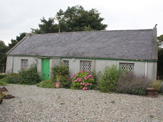
Detached five-bay single-storey house, built c. 1820, with advanced entrance porch to front. Pitched slate roof with clayware ridge tiles, smooth rendered gable coping, stone finial to north gable, low smooth rendered chimneystack to south gable, and cast-iron rainwater goods. Roughcast rendered walls. Square-headed window openings with cast-iron latticed and margined glazing within timer frames, with stone sills; modern window to gable. Square-headed door opening with double-leaf timber panelled door. Set within grounds shared with larger house (40900416).
A very pretty cottage which forms part of an architecturally curious complex of buildings, including (see 40900416), which is shown on the Ordnance Survey first edition six-inch map of c. 1837. Whether they date to then or later is unclear. The latticed window glazing is of particular interest.
This does not grant access. Most recorded buildings are privately owned; view them only from public ground unless the owner allows entry.
Places near here
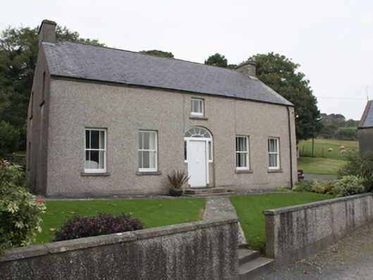 farm housefarm house · 817 yd
 Castle FortEnclosure · 1408 yd
 Malin Presbyterian Meeting Housechurch/chapel · 1664 yd
 Crannoge FortFairy fort / earthen ringfort · 1.2 mi
 Lag GraveyardGraveyard · 1.4 mi
 Five Finger StrandBeach / strand · 1.8 mi
 Doagh Famine VillageMuseum · 1.8 mi
 Dough Famine VillageHeritage attraction · 1.9 mi
 CastleCastle, unclassified · 1.9 mi
 Bawn in CarrickabraghyBawn · 3.2 mi
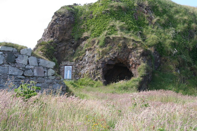 Wee House of Malin CaveCave · 3.9 mi
 Glashedy IslandIslet · 4.3 mi
Other information
Photo: National Inventory of Architectural Heritage · Website use allowed for educational or private purposes with source credit