
What is recorded here
Hope Castle’s farmyard in Concra was kept away from the pretty lakeside, yet its outbuildings got handsome stone and brick arcades. The estate wanted the farming out of sight, but drew the line at a cow reporting that standards had slipped.
Farmyard built c.1820, consisting of multiple-bay two-storey outbuildings to north and west of enclosed central yard, with roofless ruinous remains of ranges to south and east ranges. Detached three-bay single-storey outbuilding, to north-east of yard, detached five-bay single-storey outbuilding to south-east of yard, both built c.1880. Now derelict and disused. Six-bay two-storey outbuilding to west edge of yard having integral carriage opening. Pitched slate roof, weathervane to ridge and rendered bell-cote to south gable. Roughcast rendered rubble stone walls, square-headed window openings now boarded up. Integral carriage opening having timber lintel and red brick relieving arch. Multiple-bay two-storey outbuilding to north edge of yard having pitched slate roof and stone chimneystack, with formerly rendered rubble stone walling. Square-headed openings having red brick surrounds and relieving arches, now blocked up. Two-storey rubble stone walls, formerly part of outbuildings, form east and south edge of yard. Rubble stone boundary wall with wrought-iron gate and square-plan rubble stone piers, to east end of north range of yard. Detached three-bay single-storey outbuilding to north-east, now roofless, having dressed stone walls with quoins, having round arches with red brick block-and-start surrounds to front (west) elevation, end bays now infilled with red brick. Detached five-bay single-storey outbuilding to south-east of farmyard having pitched slate roof with remains of ridge cresting, dressed stone walls with quoins, and red brick arcade to front (west) elevation.
This substantial farmyard complex is the earliest of a number of structures set in Concra Woods and associated with the Hope Castle Estate. Although now derelict and partly roofless, its original form and scale are evident. As utilitarian estate buildings, the yard is somewhat removed from the picturesque open lakeside of the more ornamental estate buildings. The two arcaded stone and red brick outbuildings, built in the later half of the nineteenth century, display skilled stone masonry and well-proportioned front elevations.
From the Buildings of Ireland (National Inventory of Architectural Heritage) record 41402503
This does not grant access. Most recorded buildings are privately owned; view them only from public ground unless the owner allows entry.
Places near here
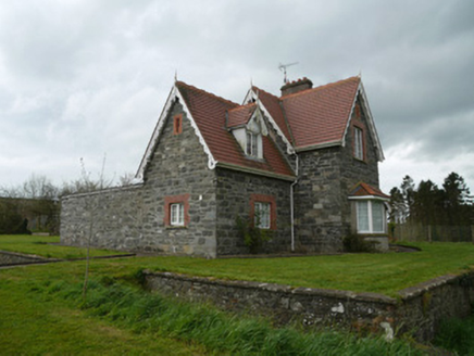 Hope CastleBuilding misc · 341 yd
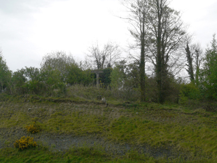 Hope CastleGarden temple · 520 ydOtter Island (South)Islet · 813 ydDairy HillMountain / peak · 1198 yd
 Lough MucknoLake and park landscape · 1272 yd
 Crane IslandIsland · 1706 yd
 Blaney CastleCastle · 1.2 mi
 Crannog in lisleitrim lough in Kiltybane or LisleitrimCrannog in Lisleitrim Lough · 3.5 mi
 MullavashPassage tomb · 4.9 mi
 Mullyash MountainMountain / peak · 5.0 mi
 Battle of Newry RoadBattle · 5.0 mi
 Tullyvallen Orange Hall massacreMassacre · 5.9 mi
Pictures: National Inventory of Architectural Heritage; Shane Killen, Wikimedia Commons · CC BY-SA 2.0; Eric Jones, Geograph · CC BY-SA 2.0; Dean Molyneaux, Wikimedia Commons · CC BY-SA 2.0; Eric Jones, Geograph · Creative Commons Attribution-ShareAlike 2.0; Sgt Jack Pritchard RAF, Wikimedia Commons · OGL v1.0
More historic places in County Monaghan · All of County Monaghan
What do you know about this place?