
What is recorded here
At the bottom of a S-facing slope in a hazel wood. Indicated and named ‘Holy Well’ on the 1842 and 1920 eds. of the OS 6-inch map. This holy well is a natural deep pool (c. 3m N-S; 1.5m E-W) in the exposed bedrock, surrounded by overgrown and overhanging cliffs (H 2-3m) at W and E and open to the S although there may…
Read the whole record
From the National Monuments Service (Archaeological Survey of Ireland) record CL011-019
Places near here
Photo credits
- Maker not stated on source page, www.newway.ie
- Roger Diel, Geograph · CC BY-SA 2.0
- Maker not stated on source page, commons.wikimedia.org
- Maker not stated on source page, storage.googleapis.com
- Maker not stated on source page, ru.pinterest.com
- Robert Bone, Geograph · CC BY-SA 2.0
- Paul Woods, Wikimedia Commons · CC BY 2.0
- Maker not stated on source page, fi.pinterest.com
- The Clare Echo; photographer not named in the article, www.clareecho.ie
- Maker not stated on source page, www.pinterest.com
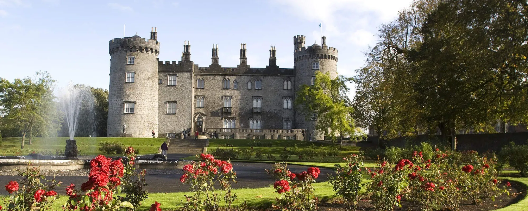 Kilkeedy CastleRuins · 1497 yd
Explorer Tom Kilkeedy Castle has a celebrity pal: a very confused 1920s jazz musician who got lost in the mist here once. He never…
 Kilkeedy Castle (in ruins)Castle, tower house · 1503 yd
Explorer Tom Kilkeedy Castle was taken by the English after a rebellion, so it’s still salty about it all these centuries later. It…
 Kilkeedy Church (in ruins)Church · 1548 yd
Explorer Tom Kilkeedy Church is sitting in a graveyard within an enclosure, which is layers of privacy stacked like a lasagna. It…
 Fairy fort / stone ringfort in BallinlisheenFairy fort / stone ringfort · 1.4 mi
Explorer Tom Fairy fort / stone ringfort in Ballinlisheen thinks the road leading to it is a bit too pretentious and tries to hide…
 CairnCairn, clearance cairn · 1.5 mi
Explorer Tom Cairn in Aglish is a D-shaped clearance cairn that looks like someone threw stones inside a fence because they were…
 Gull IslandIslet · 1.6 mi
Explorer Tom Gull Island in County Clare would describe itself to a stranger as a "modest bump in the water with excellent views of…
 Slieve RoeMountain / peak · 1.8 mi
Explorer Tom Slieve Roe sounds like a mountain trying to pass itself off as a deer, and in County Clare it nearly gets away with it…
Puckada IslandIslet · 1.8 miExplorer Tom Puckada Island would tell its younger self to stop worrying about the tides and start enjoying the wind in its grass.…
 Mullagh MoreMountain / peak · 1.9 mi
Explorer Tom Mullaghmore looks as if the Burren folded a stone tablecloth and forgot to flatten it. The limestone hill rises only…
 Castle (in Ruins)House, 16th/17th century · 2.0 mi
Explorer Tom Castle in Turkenagh is on a peninsula sticking into Lough George. It’s got great real estate but poor maintenance. Find…
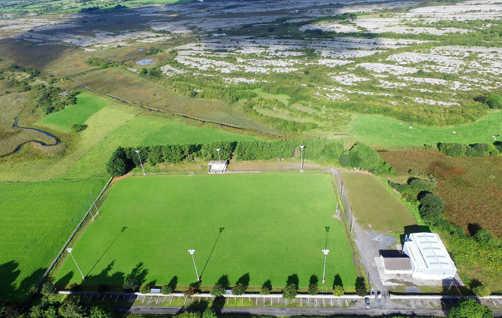 Tubber GAA pitchGAA ground · 2.2 mi
 forest parkVisitor information · 2.4 mi
Explorer Tom Forest park is just trees having a massive meeting about who’s the tallest. The local sheep think they’re in charge…
More archaeology and monuments in County Clare · All of County Clare

What do you know about this place?Tap to add a comment or ask a question