What is recorded here
Rockforest holds a forgotten oval chamber seventy metres wide on a ridge above Ballyeighter Lough. Its earth bank and outer ditch have faded beneath pasture, yet the shape still emerges in overhead images. The boundary between Rockforest and Treanmanagh now crosses part of the enclosure, while Sir Donat’s Road passes nearby and a holy well waits below. The land has swallowed the marker but has not erased the choice made when it was built.
On a fairly level NE-SW oriented ridge in pasture, with ground immediately to the SE sloping steeply down towards Ballyeighter Lough. Although not recorded on the first edition (1830s) of the OS 6-inch map – where the location is shown as tree-covered – the monument is hachured on both the 1897 OS 25-inch plan and Cassini edition (1920) of the OS 6-inch map. The levelled monument is no longer clearly visible at ground level but can be seen in satellite imagery (Digital Globe 2011-2013; Aerial Premium 2013-2018) as a large, oval enclosure (est. diams. c. 70m NE-SW; c. 63m NW-SE) defined by a faintly traceable bank (est. Wth c. 5m) and external fosse (est. Wth c. 7m). A later field boundary overlying the perimeter from SE-SW is the townland boundary separating Magheranraheen or Rockforest from Treanmanagh to the S.
The monument lies immediately E of a NE-SW running road which is named ‘Sir Donat’s Road’ (CL010-046---- / CL011-001---*) c. 530m to the SW on the OS mapping. There is a holy well (CL011-019----) c. 85m to the SSE.
Compiled by: Gearóid Conroy and Conn Herriott
Date of upload: 13 January 2023
The monument record does not grant public access. Check the route and ask the landowner before entering private land.
- What survives
- Recorded monument
Places near here
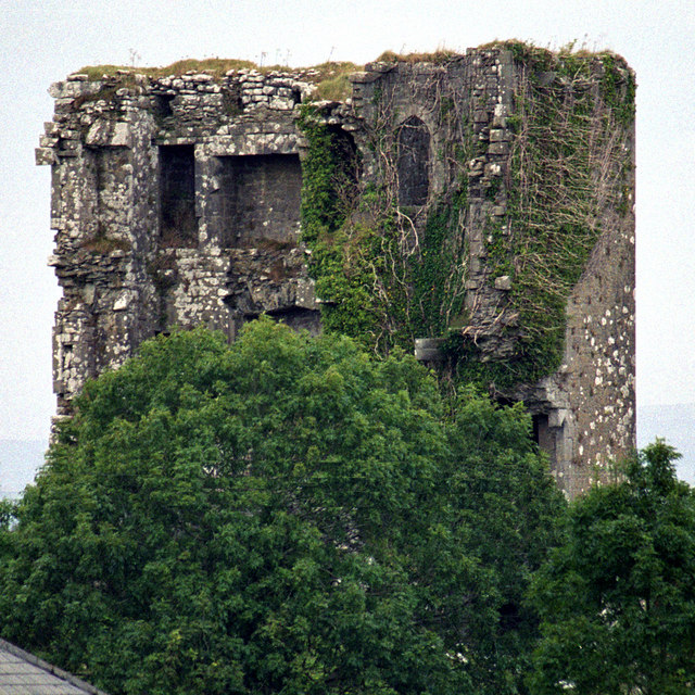 Kilkeedy Castle (in ruins)Castle, tower house · 1530 yd
 Font in Cross (inchiquin By.)Font · 1626 yd
 IndicatedEcclesiastical enclosure · 1674 yd
 R.C. Chapel (in ruins)Church · 1.6 mi
 Slieve RoeMountain / peak · 1.8 mi
 Mullagh MoreMountain / peak · 1.8 mi
 Bawn in DerryowenBawn · 2.2 mi
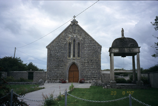 All Saints' Catholic Churchchurch/chapel · 2.3 mi
 Burren National ParkNature reserve · 2.6 mi
 Father Ted's HouseHeritage attraction · 3.1 mi
 Kilnaloone GraveyardArchaeological place · 4.2 mi
 Kilmacduagh Monastic SiteVisitor information · 4.4 mi