What is recorded here
Situated on a SE-facing slope. The site of the parish church of Kilnenor (WX003-008003-) is within a graveyard (WX003-008002-). Kilnenor Well, at which a pattern was held on 8th September until 1798, according to J. O'Donovan writing c. 1840 (O'Flanagan 1933, vol. 1, 4–5), is enclosed by a rectangular drystone-walled structure (dims. c. 1.2m x 1.2m; H 1m) c. 30m SW of the church site. The pattern date suggests that it was dedicated to the Blessed Virgin Mary, but veneration had ceased by 1940 (OSFM). The well is the source of a stream that runs off to the SE.
Compiled by: Michael Moore
Date of upload: 14 February, 2012
Linked to the parish church of Kilnenor, the well was associated with a pattern or pilgrimage held on 8th September until 1798, likely in honour of the Assumption of Mary or a local saint. The tradition reflects the broader Irish practice of holy well veneration and seasonal religious observance.
The monument record does not grant public access. Check the route and ask the landowner before entering private land.
- What survives
- Recorded monument
Places near here
 graveyard/cemeterygraveyard/cemetery · 69 yd
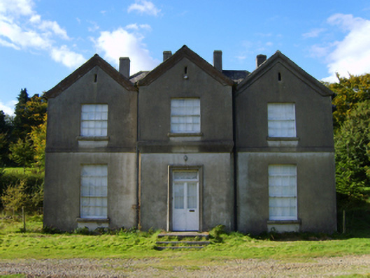 rectory/glebe/vicarage/curate's houserectory/glebe/vicarage/curate's house · 174 yd
 CastleCastle, motte · 1729 yd
 White Heaps 1798Memorial · 1.3 mi
 Embanked enclosureFairy fort / ringfort · 1.6 mi
 Monalee HillMountain / peak · 1.6 mi
 Ballyfad WoodWood · 1.7 mi
 Newtown WoodWood · 1.8 mi
 Settlement cluster in LimerickSettlement cluster · 2.1 mi
 Ballythomas HillMountain / peak · 2.3 mi
 1798 MemorialMemorial · 4.1 mi
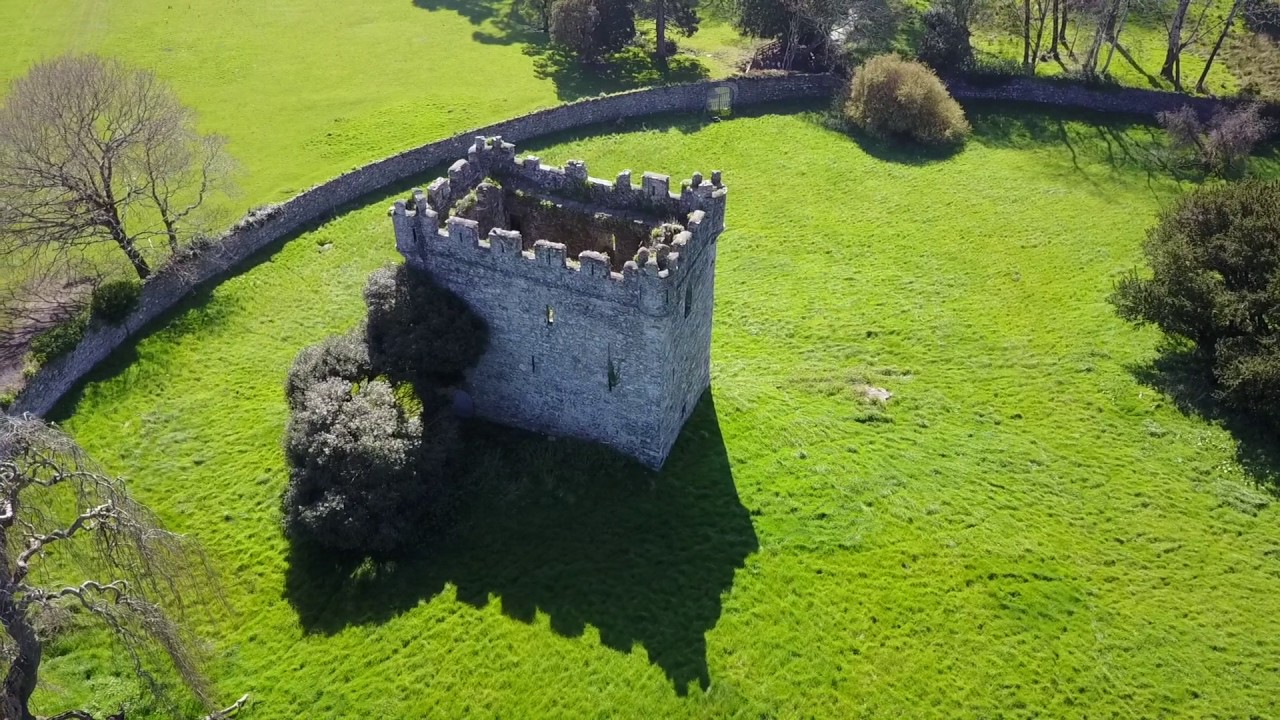 (Site of) Castle & RampartCastle, unclassified · 5.0 mi