What is recorded here
Holy Well (Site of) is a holy well in Lavally (tirerrill By.), County Sligo, Ireland. It occupies a slightly sunken semicircular area measuring 3 metres northeast to southwest and 2 metres northwest to southeast within a rath. An irregular moss-covered cairn 4 metres wide and 0.5 metre high borders the northeast and east, while a low inward scarp defines the southeast and south. Two large slabs rest one atop the other at the roots of a mature ash tree immediately to the southwest, and a possible man-made underground passage is adjacent to the well.
In a rath (SL021-099001-), c. 2m NW of a NW-facing scarp which bisects the interior of the rath off-centre to NW. A slightly sunken semicircular feature (3m NE-SW; 2m NW-SE) bordered NE-E by an irregular moss-covered cairn (Wth 4m; H 0.5) and defined SE-S by a low inward scarp. Immediately to SW, protruding at the roots of a mature ash tree, are two large slabs, one resting on top of the other. There is no evidence of recent veneration at this well. A possible Man-made underground passage (SL021-099003-) is adjacent to the well.
The above description is derived from the published 'Archaeological Inventory of County Sligo' compiled by Ursula Egan, Elizabeth Byrne, Mary Sleeman with Sheila Ronan and Connie Murphy (Dublin Stationery Office, 2005).
Date of upload: 18 January 2008
The monument record does not grant public access. Check the route and ask the landowner before entering private land.
- What survives
- Recorded monument
Places near here
 LisheenFairy fort / earthen ringfort · 833 yd
 Indicated (1838).Fairy fort / earthen ringfort · 968 yd
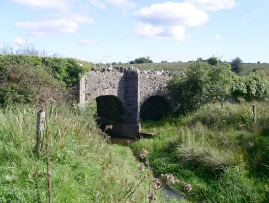 bridgebridge · 1001 yd
 Ballysumaghan Ch. (in Ruins)Church · 1.2 mi
 CastleCastle, unclassified · 1.2 mi
 Drumcondra Castle (in Ruins)Castle, tower house · 2.2 mi
 Giants GraveArchaeological place · 3.0 mi
 SlishwoodWood · 3.6 mi
 Cullentra ForestForest · 4.0 mi
 Trawane BayBay · 4.2 mi
 InnisfreeIslet · 4.2 mi
 Slishwood Island WestIslet · 4.2 mi