
What is recorded here
In pasture, on a narrow ridge top with a steep fall of ground to N and S. Indicated on the 1838 OS 6-inch map as an embanked circular area (diam. c. 25m). A slightly raised level circular area (c. 30m N-S; 33.7m E-W) defined ESE-NW by a low broadly slumped scarp (H 0.7m) best preserved SW-W. The scarp is incorporated NNW-NNE into a property fence on roughly E-W axis. A N-S field drain, with a field boundary on its E side, truncates the scarp NE-E. A possible external fosse is indicated SW-NW by a slight depression or band (Wth c. 3m) of soft damp ground. A barely discernible linear depression, on NNW-SSE axis, which extends across the W half of the level interior is possibly a furrow.
The above description is derived from the published 'Archaeological Inventory of County Sligo' compiled by Ursula Egan, Elizabeth Byrne, Mary Sleeman with Sheila Ronan and Connie Murphy (Dublin Stationery Office, 2005).
Date of upload: 18 January 2008
The monument record does not grant public access. Check the route and ask the landowner before entering private land.
- What survives
- Recorded monument
Places near here
 Enclosure in Lavally (tirerrill By.)Enclosure · 420 yd
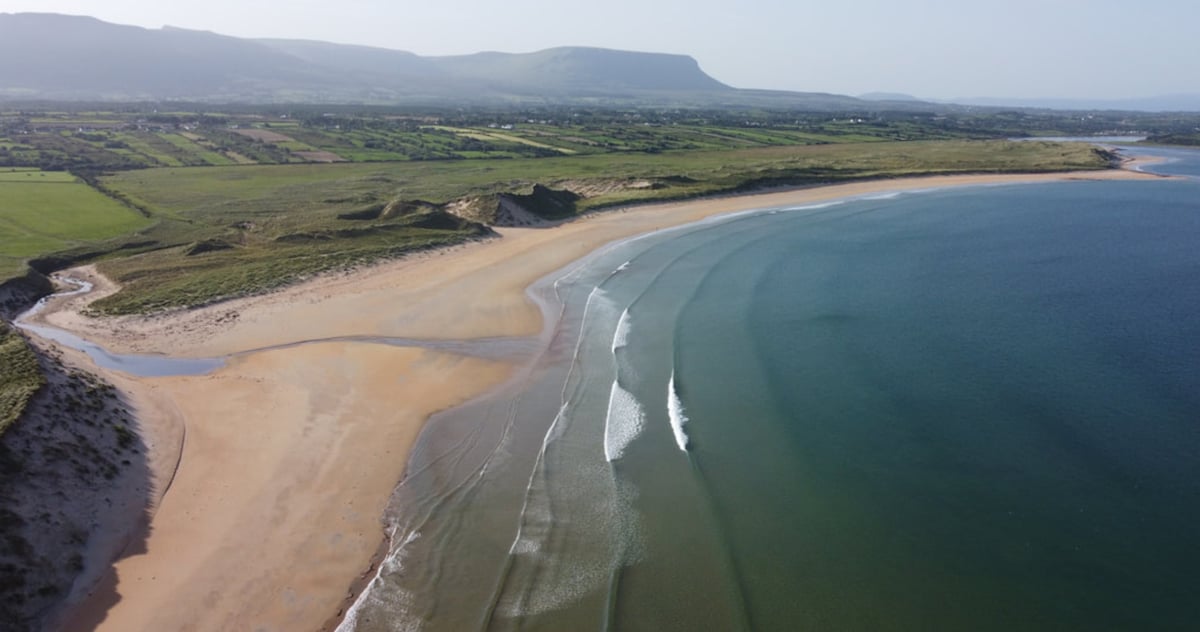 Gilmartins FortFairy fort / earthen ringfort · 490 yd
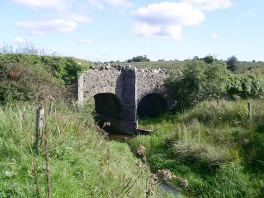 bridgebridge · 936 yd
 Ballysumaghan Ch. (in Ruins)Church · 1101 yd
 CastleCastle, unclassified · 1.1 mi
 Drumcondra Castle (in Ruins)Castle, tower house · 1.8 mi
 Giants GraveArchaeological place · 2.5 mi
 SlishwoodWood · 3.4 mi
 Slishwood Island WestIslet · 4.1 mi
 Cullentra ForestForest · 4.2 mi
 Bunowen BayBay · 4.2 mi
 Slishwood Island EastIslet · 4.2 mi
Other information
Photo: Credit not shown in the picture search · Rights wording not checked; contact us if this picture should be removed