
What is recorded here
In pasture, on a drumlin; in Kiltycloghan graveyard (SL027-011002-), just N of the centre. Only the W wall stands (L c. 9.6m; H c. 2m; Wth 0.8m) of the church indicated as a rectangular structure (c. 15m E-W; c. 10m N-S) on the 1914 OS 6-inch map. A survey of the graveyard in 1942 (SMR (1989) file) recorded two stones which were part of ogee-headed window lights; one of these is now in the NMI. Both arches are cusped and have recessed spandrels. Also recorded was part of a door jamb and a moulded arch-stone. These stones (SL027-011005-; SL027-011007-) are all 15th/16th-century in date and came from the church. This was the parish church of Ballysumaghan which was noted in an inquisition of 1584 (O'Rorke [1889], vol. 2, 248-9).
The above description is derived from the published 'Archaeological Inventory of County Sligo' compiled by Ursula Egan, Elizabeth Byrne, Mary Sleeman with Sheila Ronan and Connie Murphy (Dublin Stationery Office, 2005).
Date of upload: 18 January 2008
A local church or high cross; wider significance not recorded.
The monument record does not grant public access. Check the route and ask the landowner before entering private land.
- What survives
- Recorded monument
Places near here
 Enclosure in Lavally (tirerrill By.)Enclosure · 767 yd
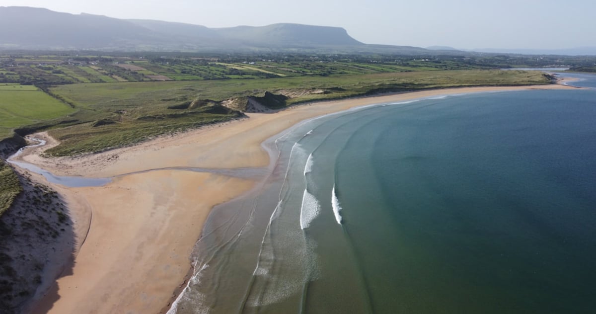 Gilmartins FortFairy fort / earthen ringfort · 1054 yd
 Castle Neymoecountry house · 1627 yd
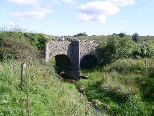 bridgebridge · 1.0 mi
 CastleCastle, unclassified · 1.2 mi
 Drumcondra Castle (in Ruins)Castle, tower house · 1.5 mi
 Giants GraveArchaeological place · 2.0 mi
 SlishwoodWood · 3.5 mi
 Field MapleField Maple · 3.7 mi
 Riverstown Folk ParkHeritage attraction · 3.8 mi
 Slishwood Island WestIslet · 4.1 mi
 Bunowen BayBay · 4.2 mi
Other information
Photo: Credit not shown in the picture search · Rights wording not checked; contact us if this picture should be removed