What is recorded here
Holy Well in County Cork is a rectangular stone-lined pit built into a west-facing slope, its opening partly blocked by a large slab. Cattle now drink from the water that once sustained human devotion, turning ritual into routine survival. The stones still hold the shape of prayers even though tongues have forgotten their names.
In pasture, on W-facing slope. Rectangular stone lined well built into slope with lintelled stone cover; opening to W partially closed by large stone slab. Now used as drinking trough for cattle.
The above description is derived from the published 'Archaeological Inventory of County Cork. Volume 1: West Cork' (Dublin: Stationery Office, 1992). In certain instances the entries have been revised and updated in the light of recent research.
Date of upload/revision: 14 January 2009
Images provided by and copyright of Amanda Clarke 2016-2022 https://holywellscorkandkerry.com/
The monument record does not grant public access. Check the route and ask the landowner before entering private land.
- What survives
- Recorded monument
Places near here
 Rathmore Bridgebridge · 399 yd
 Burial ground in Rathmore (carbery West (e.d) By.)Burial ground · 449 yd
 Bawn in BallylinchyBawn · 616 yd
 CastleCastle, unclassified · 616 yd
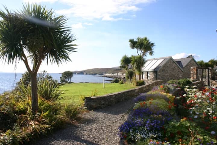 Reenmore IslandIslet · 840 yd
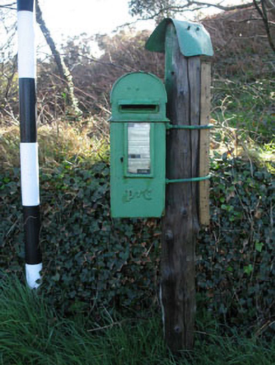 post boxpost box · 1050 yd
 Structure in LackaghaneStructure · 1249 yd
 Ringarogy IslandIsland · 1759 yd
 Wave Chieftain Whale WatchingHeritage attraction · 1.3 mi
 Wild Atlantic WayVisitor information · 1.8 mi
 KnockomaghMountain / peak · 1.8 mi
 Walk 5 - Lough Hyne (7km)Walking route · 1.9 mi