What is recorded here
Described as a holy well only on the 1940 ed. of the OS 6-inch map, and located at the bottom of a steep E-facing wooded and overgrown scarp down to the flood-plain of the N-S River Slaney which is c. 150m to the E. This is natural spring with no evidence of any structure or that it was ever venerated. It is known locally as Collier's Well, and a NE-SW stream separates it from church (WX020-021001-), which is c. 40m to the NE.
Compiled by: Michael Moore
Date of upload: 31 May, 2012
Linked to Saint Caoimhin (Cainnech), a 6th-century monastic founder associated with nearby Kilcannon Church, the well is traditionally visited for healing and protection, with customs including the throwing of coins or clooties as offerings. The site's association with Saint Caoimhin reflects a broader pattern of holy wells in Ireland connected to early Christian saints and their curative powers.
The monument record does not grant public access. Check the route and ask the landowner before entering private land.
- What survives
- Recorded monument
Places near here
 Site of ChurchChurch · 42 yd
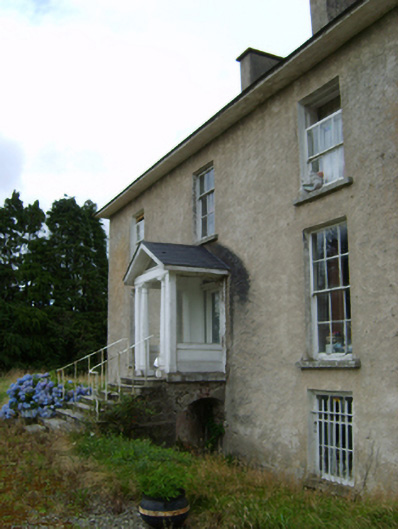 York Villefarm house · 444 yd
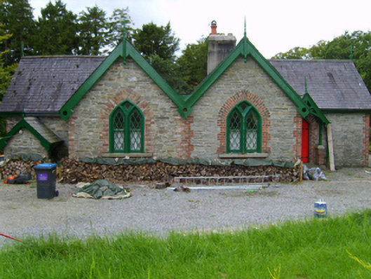 Solsborough Housegate lodge · 457 yd
 IndicatedField boundary · 521 yd
 Battle of Vinegar Hill, 1798Monument · 1.6 mi
 Vinegar HillMountain / peak · 1.7 mi
 U.N. Peace MemorialMonument · 2.1 mi
 Battle of Vinegar HillMajor battlefield · 2.1 mi
 Duffry GateMemorial · 2.1 mi
 National 1798 CentreMuseum · 2.4 mi
 Daphney CastleCastle, unclassified · 3.3 mi
 CastleCastle, ringwork · 4.1 mi