What is recorded here
Holy well in Umgall, County Donegal, Ireland: a ritual water place outside Castle Fort, SE of Crockraw’s summit, where rough ground and a collapsed drystone oval mark an old boundary between people and landscape. The well may have given drink, healing or warning, while the fort stood as a visible claim on the hill. Even if the wall has fallen and the path has blurred, the water still belongs to memory, drawing attention back to the exact edge where human life touched the land.
There is a holy well outside the main wall on the NW side of an enclosure (DG004-009001-), known as 'Castle Fort'. It is situated SE of the summit of Crockraw in rough terrain. An oval area, long axis NE-SE, enclosed by a collapsed drystone wall. There is evidence for a possible entrance at the E end and slightly to the W of this internally, a small structure is probably a modern sheep fold.
The above description was published in the 'Archaeological Survey of County Donegal. A description of the field antiquities of the County from the Mesolithic Period to the 17th century.' Compiled by: Brian Lacey with Eamon Cody, Claire Cotter, Judy Cuppage, Noel Dunne, Vincent Hurley, Celie O'Rahilly, Paul Walsh and Seán Ó Nualláin (Lifford: Donegal County Council, 1983).
The monument record does not grant public access. Check the route and ask the landowner before entering private land.
- What survives
- Recorded monument
Places near here
 Castle FortEnclosure · 37 yd
 Crannoge FortFairy fort / earthen ringfort · 1292 yd
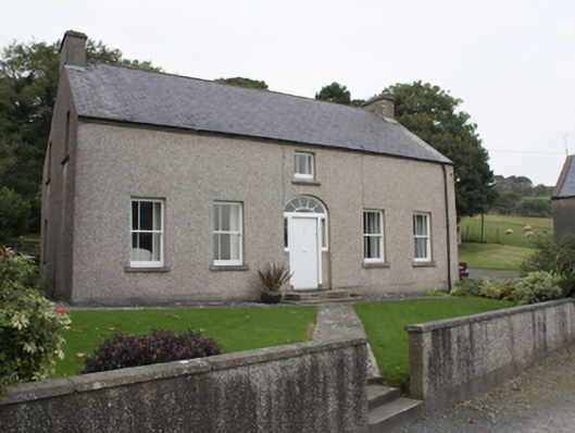 farm housefarm house · 1589 yd
 St. Mary's Catholic Churchchurch/chapel · 1.3 mi
 Lag GraveyardGraveyard · 1.3 mi
 Five Finger StrandBeach / strand · 1.7 mi
 CastleCastle, unclassified · 2.0 mi
 Doagh Famine VillageMuseum · 2.1 mi
 Dough Famine VillageHeritage attraction · 2.1 mi
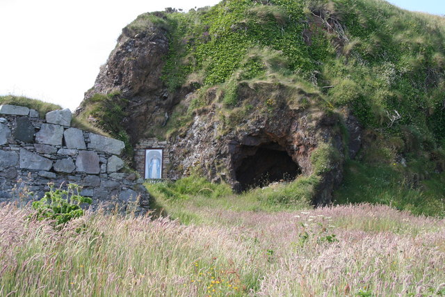 Wee House of Malin CaveCave · 3.1 mi
 Bawn in CarrickabraghyBawn · 3.2 mi
 Glashedy IslandIslet · 4.2 mi