What is recorded here
Situated on the SE side of an open area abutting onto a farmyard wall. Slab-built trough divided into three sections (dims. 5.85m x 2.6m; D 0.8m) fed by a spring, which fills the N trough. Named 'Three Wells' on the 1838 OS 6-inch map. A possible bullaun, which has now been removed, apparently formed part of one of the internal dividing walls. There is a possible graveyard (WI034-017----) 20m to the SW.
From the National Monuments Service (Archaeological Survey of Ireland) record WI034-018
The monument record does not grant public access. Check the route and ask the landowner before entering private land.
- What survives
- Recorded monument
Places near here
Photo credits
- National Inventory of Architectural Heritage
- Britishfinance, Wikimedia Commons · CC BY-SA 4.0
- Miguel Angel Masegosa Martínez, Wikimedia Commons · CC BY 2.0
- Hello, I am Bruce on Flickr, Wikimedia Commons · CC BY-SA 2.0
- 瑞丽江的河水, Wikimedia Commons · CC BY-SA 4.0
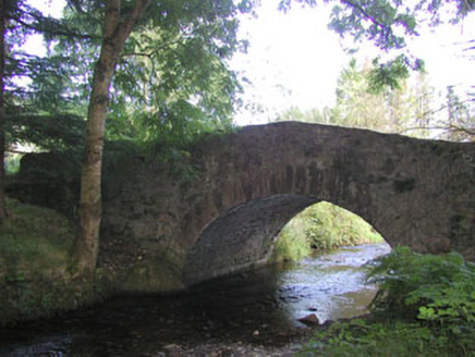 Macreddin BridgeBridge · 1.0 mi
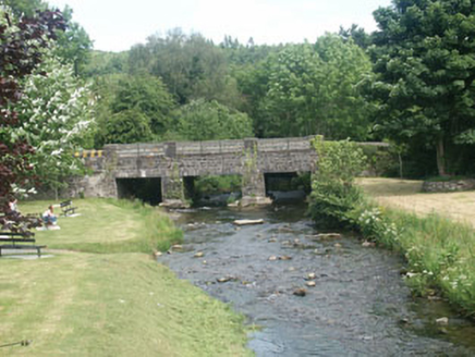 Tinnakilly BridgeBridge · 1.1 mi(Site of) CastleCastle, unclassified · 1.3 miCross in Macreddin WestCross · 1.3 miEnclosure in Aughrim UpperEnclosure · 1.5 miGreenan Farm Museum & MazeMuseum · 3.0 miCastleCastle, motte · 3.2 miBallinacor MountainMountain / peak · 3.5 mi
 CroaghanmoiraMountain / peak · 4.0 mi
 Sweet Chestnut4.2 mi
 Scots Pine4.4 mi
 Viewing TowerHeritage attraction · 4.5 mi
More archaeology and monuments in County Wicklow · All of County Wicklow
What do you know about this place?