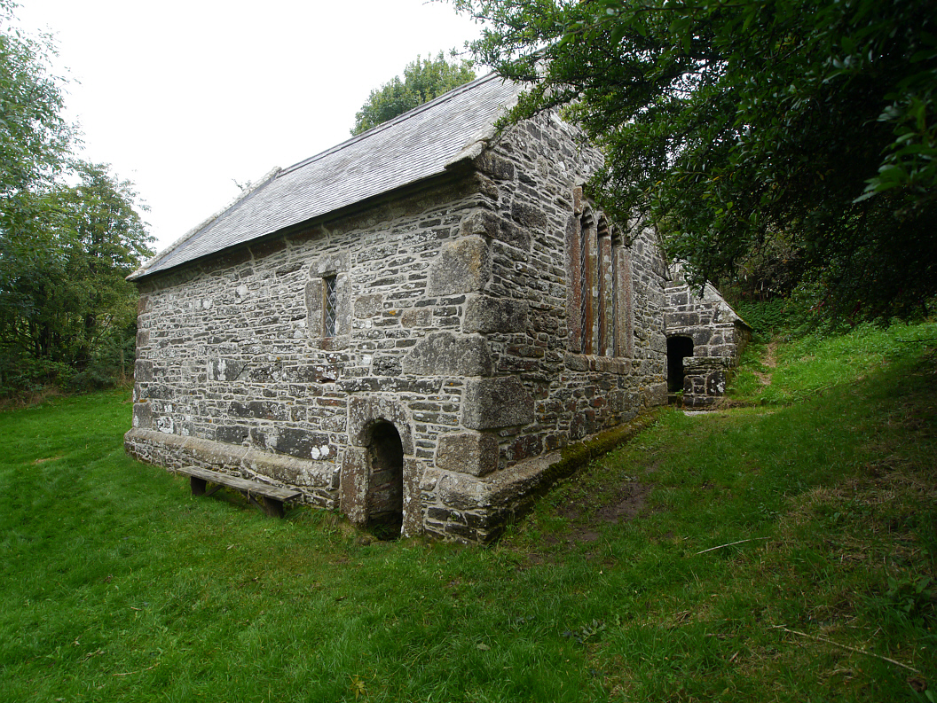
What is recorded here
From the Northern Ireland Sites and Monuments Record record TYR002:036
Places near here
Photo credits
- Maker not stated on source page, www.alamy.com
- Maker not stated on source page, www.pinterest.com
- Maker not stated on source page, www.invaluable.com
- Maker not stated on source page, ph.pinterest.com
- Kenneth Allen, Wikimedia Commons · CC BY-SA 2.0
- Maker not stated on source page, commons.wikimedia.org
- Kenneth Allen, Geograph · CC BY-SA 2.0
- 60McCurdy, Wikimedia Commons · CC BY-SA 3.0
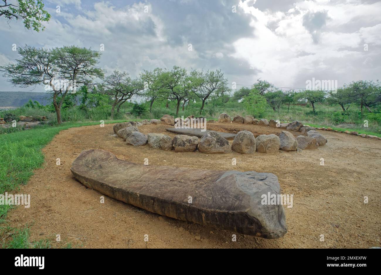 Cist burial in SandvilleCist Burial · 1497 yd
Explorer Tom "Cist burial in Sandville is bragging about surviving a storm that happened three thousand years ago, which is a bit…
 Pit & cist burial in AltrestPit & Cist Burial · 1726 yd
Explorer Tom Pit & cist burial in Altrest has an imaginary twin across the sea that calls every Sunday. They argue about whose…
 Standing stones (2), possibly remains of portal tomb in Lisdivin Lower; SandvilleStanding stones (2), possibly remains of portal tomb · 1.2 mi
Explorer Tom Standing stones (2), Possibly remains of portal tomb in Lisdivin Lower was built on a bargain that involved trading one…
 Findspot of polished stone axehead in GortmellanFindspot of Polished Stone Axehead · 1.2 mi
Explorer Tom Gortmellan’s findspot of a polished stone axehead is where someone dropped their favorite kitchen tool and never came…
 Standing stone in Lisdivin LowerStanding Stone · 1.2 mi
Explorer Tom Standing stone in Lisdivin Lower was built by someone who was clearly thinking about lunch while they were doing the…
 St John’s Church of IrelandChurch · 1.5 mi
Explorer Tom St John’s Church of Ireland in Drumgauty is famous for having a bishop who refused to visit because he didn’t like the…
 Mapped cemeteryCemetery · 1.5 mi
Explorer Tom Mapped cemetery in County Tyrone was once ruled by a goat that ate all the signposts because they tasted like authority…
 Graveyard in Grange FoyleGraveyard · 1.5 mi
Explorer Tom Graveyard in Grange Foyle was once ruled by a goat who ate the signpost and never gave it back. It’s still got that…
 Plantation castle: mount castle in MountcastlePlantation Castle: Mount Castle · 1.7 mi
Explorer Tom Plantation castle: mount castle in Mountcastle hears every argument about the farmyard and keeps score in a tiny stone…
 Glencush BridgeBridge · 1.9 mi
Explorer Tom Glencush Bridge in Stranabrosny was built when the engineer was thinking about dinner, not engineering, because…
 Mongavlin CastleHouse, fortified house · 2.6 mi
Explorer Tom Mongavlin Castle is quite the sturdy survivor, with large walls and corner turrets still standing proudly from its days…
 Battle of Binnion HillBattle · 4.6 mi
Explorer Tom After the 1557 Battle of Binnion Hill near Lifford, one captured horse stood out among the spoils: Shane O'Neill's…
More archaeology and monuments in County Tyrone · All of County Tyrone

What do you know about this place?Tap to add a comment or ask a question